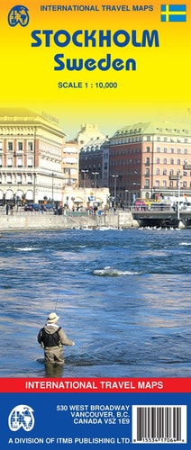
Stockholm (Sweden) 1:10,000 Street Map
0
0
As an Amazon Associate and affiliate partner, Menrva Books earns from qualifying purchases. Learn more
Author Description
Detailed street map, scale 1:10,000, with an inset map of the Old Town (Gamla Stan, 1:6250) and the Metro and Rail public transit system, with a street name index is designed for easy exploration of Stockholm on foot. Legend includes metro lines/Tunnelbana, commuter train/Pendeltag lines, tram lines with station, intercity rail station/airport service, ferry wharf, park/plazas, accommodations, churches, synagogues, points of interest, museums, shopping centres.
Menrva's Summary
THE THESIS
This map provides a detailed guide to navigating Stockholm, Sweden, focusing on street-level exploration and public transit integration. Developed by ITM Canada, it utilizes a 1:10,000 scale for the main city and a more detailed 1:6250 scale for the Old Town (Gamla Stan). The map's primary argument is to facilitate easy, on-foot discovery of Stockholm's attractions and transit options.
THE SCOPE MAP
- Detailed street map of Stockholm at a 1:10,000 scale.
- Inset map of the Old Town (Gamla Stan) at a 1:6250 scale.
- Comprehensive public transit information including Metro (Tunnelbana), Commuter Rail (Pendeltag), and tram lines with stations.
- Key for ferry wharves, parks, plazas, accommodations, places of worship (churches, synagogues), points of interest, museums, and shopping centers.
- A street name index for easy reference and navigation.
THE AUTHORITY PERSPECTIVE
This map is designed as a practical tool for tourists and visitors to Stockholm, offering a high level of detail for urban exploration. The inclusion of multiple transit systems and a thorough index suggests a focus on user-friendliness for those unfamiliar with the city. Its utility lies in providing a clear, navigable overview of Stockholm's layout and amenities.
Page Count:
1
Publication Date:
2007-12-01
Publisher:
ITMB Publishing, Ltd.
ISBN-10:
1553417062
ISBN-13:
9781553417064
Travel
Non-Fiction
Maps
Reference
Community Tags
Similar Books