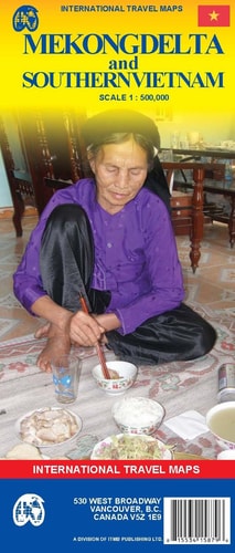
Mekong Delta & Southern Vietnam 1:500,000 Travel Map
0
0
As an Amazon Associate and affiliate partner, Menrva Books earns from qualifying purchases. Learn more
Author Description
The map covers the Mekong River inside Vietnam, HCM, the southern coastal resorts and Dalat, and the Hue region. The Delta of the Mekong, being so convoluted and touristically interesting, has an expanded map for itself. The Map distinguishes roads ranging from highways to streets. Legend includes railways, railway stations, ferry lines, border crossings, national parks, international airports, airports/airfields, harbours, places of interest, caves, churches, gas stations.
Menrva's Summary
THE THESIS
This map provides detailed cartographic information for travelers exploring the Mekong Delta and Southern Vietnam. It is produced by ITM Canada, a known cartography publisher, and utilizes a scale of 1:500,000 to balance detail with coverage. The map's primary argument is to serve as a comprehensive navigational and informational tool for tourists and explorers of the region.
THE SCOPE MAP
- Coverage of the Mekong River within Vietnam, Ho Chi Minh City, southern coastal resorts, Dalat, and the Hue region.
- An expanded, detailed map specifically for the Mekong Delta due to its complexity and tourist interest.
- Road distinctions ranging from major highways to smaller streets.
- A legend indicating railways, railway stations, ferry lines, border crossings, national parks, international airports, airports/airfields, harbours, places of interest, caves, churches, and gas stations.
THE AUTHORITY PERSPECTIVE
This map is a specialized cartographic product designed for travelers to a specific region. Its detailed legend and road distinctions suggest a practical, information-dense approach to navigation. The inclusion of an expanded inset for the Mekong Delta indicates an awareness of the area's particular appeal and complexity for visitors.
Page Count:
2
Publication Date:
2007-12-18
Publisher:
ITMB Publishing, Ltd.
ISBN-10:
1553415876
ISBN-13:
9781553415879
Travel
Non-Fiction
Maps
Southeast Asia
Vietnam
Community Tags
Similar Books