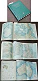
The Pocket World Atlas
0
0
As an Amazon Associate and affiliate partner, Menrva Books earns from qualifying purchases. Learn more
Author Description
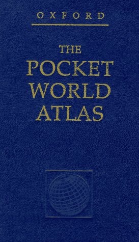
Handsomely bound in a padded leatherette case with gilt-edged pages and an attractive ribbon, the Pocket Atlas contains 96 pages of stunning, digitally produced physical and political maps of the entire world, focusing particularly on areas of key business interest such as North America, Europe, and the Far East. An attractive introductory section outlines useful information from time zones and common air travel routes to climates and average temperatures around the world.
Menrva's Summary
THE THESIS
This volume serves as a portable, high-utility reference tool designed to provide immediate access to global geographical data for business and travel applications. Oxford University Press utilizes advanced digital cartography to synthesize complex physical and political boundaries into a compact format. The text functions as both a navigational aid and a quick-reference guide for international logistics and environmental awareness.
THE SCOPE MAP
What You Will Find
- 96 pages of detailed physical and political world maps
- Regional focus on North America, Europe, and the Far East
- Reference data on global time zones and air travel routes
- Climate statistics and average temperature charts
THE AUTHORITY PERSPECTIVE
Experts recognize this atlas as a reliable, condensed resource for professionals requiring quick geographical verification. Readers frequently note the practical utility of the included travel and climate data in such a portable format.
Page Count:
172
Publication Date:
1998-10-29
Publisher:
Oxford University Press
ISBN-10:
0195213726
ISBN-13:
9780195213720
Travel
Reference
Geography
Atlases
Community Tags
Similar Books