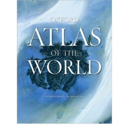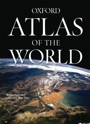
Atlas of the World: 15th Edition
0
0
As an Amazon Associate and affiliate partner, Menrva Books earns from qualifying purchases. Learn more
Author Description
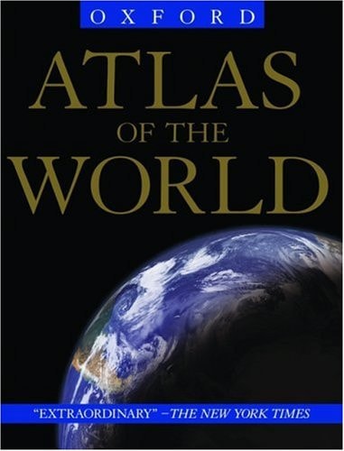
Oxford's Atlas of the World is the most authoritative resource on the market. The Fifteenth Edition remains the finest international reference source of its kind available. Including a free world wall map in every volume, updated census information, dozens of city maps, a gazetteer of nations, gorgeous satellite images of Earth, and a geographical glossary, this atlas offers exceptional value at a reasonable price.Full of crisp, clear cartography of urban areas and virtually uninhabited landscapes around the globe, the Atlas has maps of 69 cities and nearly 100 different regions at carefully selected scales to give a striking view of the Earth's surface. Opening with world statistics and then a colorful, instructive 48-page Introduction to World Geography--beautifully illustrated with tables and graphs--this acclaimed resource provides details on such topics as climate, the greenhouse effect, plate tectonics, agriculture, population and migration, and global conflicts.As in years past, this edition includes the latest geographic information: a new flag for Iraq, the addition of the Republic of Kosovo to the map of Europe, a new region in Senegal and two provinces in the Philippines, plus the appearance of the world's newest landmass, Warming Island, revealed by the melting Greenland ice sheet. Current census statistics also help to illustrate tables showing the population of world countries and cities and the popular satellite image section has been refreshed with stunning new images of different regions and urban areas.Providing the finest global coverage available, the Atlas of the World is not only the best-selling volume of its size and price, but also the benchmark by which all other atlases are measured.*Promotional world wall map included with every copy*Interior pages designed for heightened accuracy and ease of use*Detailed city plans and country profiles make it the ultimate geographic reference"An indispensable reference."--The Today Show"A veritable ency
Menrva's Summary
THE THESIS
This volume serves as a comprehensive and authoritative geographic reference designed to provide accurate, up-to-date cartographic data and global statistics for academic and general use. Oxford University Press utilizes a team of expert cartographers and researchers to synthesize census data, satellite imagery, and physical geography into a structured, accessible format. The work functions as a primary resource for understanding the Earth's surface, political boundaries, and environmental conditions through a combination of detailed mapping and analytical text.
THE SCOPE MAP
What You Will Find
- Detailed cartography covering 69 major global cities and nearly 100 distinct geographic regions.
- A 48-page introductory section on world geography featuring data on climate, plate tectonics, and population migration.
- Updated political and physical maps reflecting recent geopolitical changes and environmental shifts like glacial retreat.
- A comprehensive gazetteer of nations and a specialized geographical glossary for terminology reference.
THE AUTHORITY PERSPECTIVE
Critics and educators frequently cite this publication as a benchmark for cartographic accuracy and visual clarity in the reference market. Experts highlight the balance between high-resolution satellite imagery and traditional map-making as a standard for both professional and academic environments.
Page Count:
448
Publication Date:
2008-10-15
Publisher:
Oxford University Press
ISBN-10:
0195374517
ISBN-13:
9780195374513
Science
Maps
Geography
Atlases
Reference
Community Tags
Similar Books