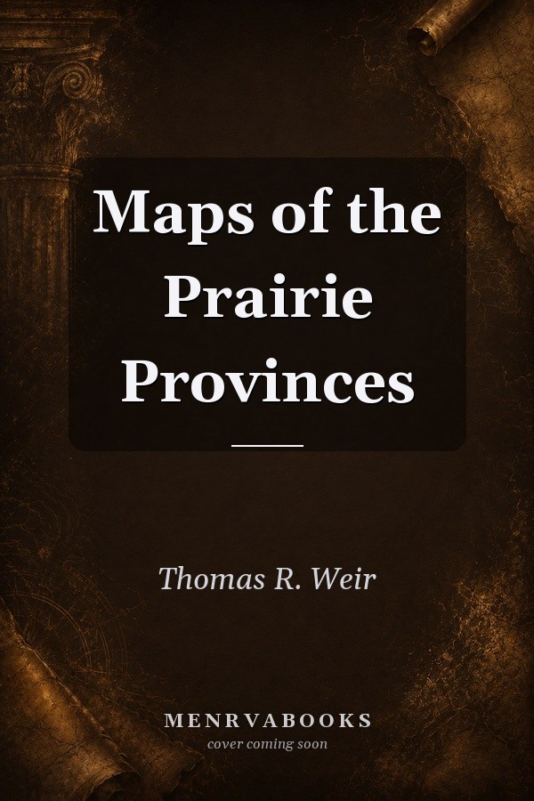
Maps of the Prairie Provinces
0
0
As an Amazon Associate and affiliate partner, Menrva Books earns from qualifying purchases. Learn more
Author Description
No description available.
Menrva's Summary
THE THESIS
This work investigates the geographical, historical, and economic development of the Canadian Prairie Provinces through the medium of cartographic representation. The authors, Geoffrey J. Matthews and Thomas R. Weir, utilize their extensive expertise in cartography and regional geography to synthesize complex spatial data into a cohesive visual narrative. By examining the evolution of land use, settlement patterns, and resource distribution, the text provides a comprehensive framework for understanding the unique regional identity of Manitoba, Saskatchewan, and Alberta. The book serves as a primary reference for scholars and students interested in the spatial history of the Canadian West.
THE SCOPE MAP
What You Will Find
- Detailed cartographic analysis of the Prairie Provinces including topographical and political maps.
- Historical data sets tracking settlement patterns and demographic shifts over time.
- Methodological approaches to regional geography and spatial planning.
- Comprehensive coverage of natural resource distribution and agricultural development.
THE AUTHORITY PERSPECTIVE
Experts recognize this volume as a foundational reference for the study of Canadian regional geography. Readers frequently note the clarity of the cartographic data and the academic rigor applied to the historical analysis of the region.
Page Count:
34
Publication Date:
1971-01-01
Publisher:
Oxford University Press
ISBN-10:
0195402014
ISBN-13:
9780195402018
History
Canada
Cartography
Maps
Reference
Geography
Community Tags
Similar Books