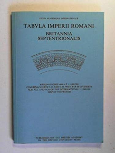
Tabula (TIR) Northern Sheet: Tabula Imperii Romani
0
0
As an Amazon Associate and affiliate partner, Menrva Books earns from qualifying purchases. Learn more
Author Description
This map, the final British contribution to the Tabula Imperii Romani (International Map of the Roman Empire) and produced at a uniform scale of 1/1,000,000 on a colored base, documents Roman Britain north of latitude 52, including the Orkney Islands and much of Ireland.
Menrva's Summary
THE THESIS
This work serves as the definitive cartographic record of Roman Britain north of latitude 52, providing a standardized visual framework for understanding the northern reaches of the Roman Empire. The authors, A.L.F. Rivet, N.H.H. Sitwell, and S.S. Frere, utilize extensive archaeological data and historical survey records to synthesize the spatial distribution of Roman influence. By adhering to the international standards of the Tabula Imperii Romani project, the text offers a rigorous, scale-accurate representation of northern territories, including the Orkney Islands and Ireland, to facilitate comparative historical analysis.
THE SCOPE MAP
What You Will Find
- A detailed cartographic survey at a uniform scale of 1/1,000,000.
- Comprehensive documentation of Roman sites, roads, and administrative boundaries north of latitude 52.
- Integration of geographical data covering the Orkney Islands and significant portions of Ireland.
- A standardized colored base map designed for academic and research-oriented spatial analysis.
THE AUTHORITY PERSPECTIVE
Experts recognize this volume as a foundational reference tool for scholars of Roman Britain and historical geography. Readers frequently note the technical precision of the mapping and its utility as a primary resource for visualizing the northern frontier of the empire.
Page Count:
120
Publication Date:
1987-07-01
Publisher:
British Academy
ISBN-10:
0197260594
ISBN-13:
9780197260593
History
Great Britain
Cartography
Reference
Geography
Archaeology
Ancient History
Community Tags
Similar Books