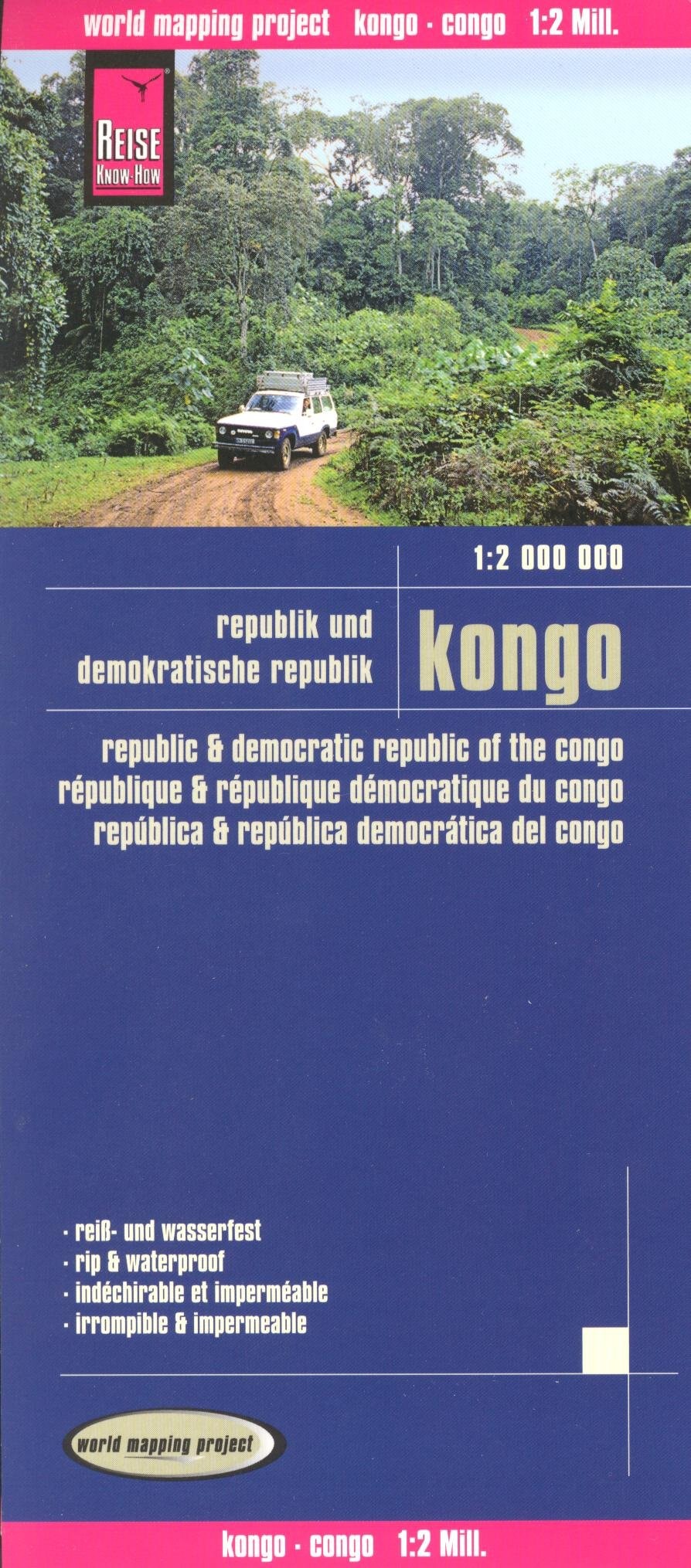
Congo Brazzaville & Democratic Republic of Congo 1:2,000,000 Travel Map
0
0
As an Amazon Associate and affiliate partner, Menrva Books earns from qualifying purchases. Learn more
Author Description
Congo Brazzaville & Democratic Republic of Congo 1:2,000,000 Travel Map, waterproof, REISE, 2012 edition The map covers the Democratic Republic of Congo (Kinshasa) and the Republic of Congo (Brazzaville). Topography is shown by altitude colouring with contours, spot heights, names of mountain ranges in the interior, seasonal rivers and swamps. Road network includes local roads and 4WD tracks, shows driving distances on main routes and indicates locations of fuel supplies and border crossings. Railways, local airfields, ports along the Congo and its tributaries, and ferry connections of Lake Tanganyika and Lake Kivu are marked. Internal administrative boundaries are shown with names of the provinces. Coverage includes the whole of Rwanda and Burubdi. National parks and protected areas are marked and symbols indicate locations with hotel accommodation, various places of interest, natural gas fields, etc. The map has a grid with latitude and longitude at intervals of 1º, and an extensive index of localities. The map is double-sided to provide the best balance between a good scale and a convenient sheet size. It is indexed, printed on waterproof and tear-resistant synthetic paper. Map legend includes English.
Menrva's Summary
THE THESIS
This map provides detailed cartographic information for travelers and researchers focusing on the Democratic Republic of Congo and the Republic of Congo. Authored by Reise Knowhow, a known publisher of travel guides and maps, this resource utilizes topography shown by altitude coloring with contours, spot heights, and names of mountain ranges to depict the physical landscape. The map's primary argument is to offer comprehensive geographical and logistical data, including road networks, driving distances, railways, airfields, ports, and ferry connections, essential for navigating the region.
THE SCOPE MAP
- Detailed topographical information including altitude coloring, contours, and spot heights.
- Comprehensive road network with local roads, 4WD tracks, and driving distances on main routes.
- Indication of fuel supplies, border crossings, railways, local airfields, and ports.
- Coverage of Rwanda and Burundi in addition to the two Congos.
- Marking of national parks, protected areas, and symbols for points of interest like hotels and natural gas fields.
- Grid with latitude and longitude at 1º intervals and an extensive index of localities.
- Map legend includes English.
THE AUTHORITY PERSPECTIVE
This map is designed as a practical tool for navigating the complex geography of the Congo region. Its detailed cartography, including topographical features and extensive road and transport networks, suggests it is aimed at serious travelers, researchers, or aid workers who require precise information. The inclusion of multiple languages in the legend and the waterproof, tear-resistant paper indicate a focus on durability and usability in challenging field conditions.
Page Count:
2
Publication Date:
2012-01-01
Publisher:
Reise Knowhow
ISBN-10:
8073241676
ISBN-13:
9788073241674
Non-Fiction
Geography
Africa
Community Tags
Similar Books