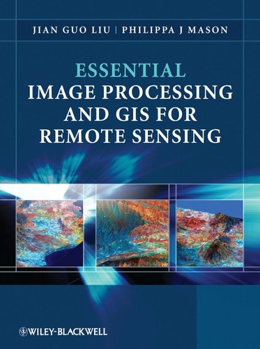
Essential Image Processing and GIS for Remote Sensing
0
0
As an Amazon Associate and affiliate partner, Menrva Books earns from qualifying purchases. Learn more
Author Description
Author description coming soon. We're reaching out to them in the ether...
Menrva's Summary
THE THESIS
This book investigates the integration of image processing techniques with Geographic Information Systems (GIS) for effective remote sensing data analysis. It aims to provide a comprehensive understanding of how to manipulate and interpret remotely sensed imagery, leveraging GIS tools to extract meaningful spatial information. The text likely covers fundamental concepts, algorithms, and practical applications, bridging the gap between theoretical image processing and real-world geospatial problem-solving.
THE SCOPE MAP
- Fundamentals of remote sensing data acquisition and characteristics.
- Core image processing techniques applicable to satellite and aerial imagery.
- Principles and applications of Geographic Information Systems (GIS).
- Methods for integrating image processing and GIS for spatial analysis.
- Case studies demonstrating practical applications in various fields.
- Techniques for image enhancement, classification, and feature extraction.
- Data management and visualization within a GIS framework for remote sensing data.
THE AUTHORITY PERSPECTIVE
The book is positioned as a technical resource for professionals and students in remote sensing and GIS. Its focus on integrating two key disciplines suggests it aims to provide a practical, application-oriented approach rather than a purely theoretical one. The subject matter indicates a likely emphasis on methodological detail and the utility of specific software tools or algorithms for data analysis. It is expected to serve as a valuable reference for those needing to derive actionable insights from remotely sensed imagery.
Page Count:
460
Publication Date:
2009-01-01
ISBN-10:
0470510323
ISBN-13:
9780470510322
Non-Fiction
Art
Science
Image Processing
Remote sensing
Community Tags
Similar Books