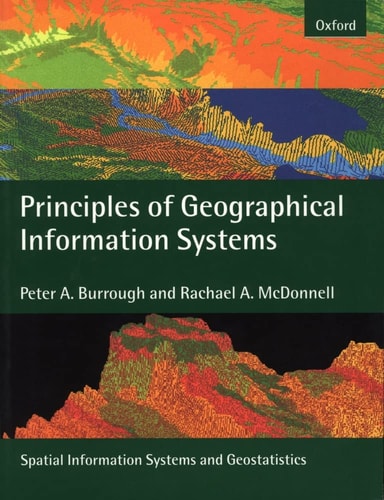
Principles of Geographical Information Systems
0
0
As an Amazon Associate and affiliate partner, Menrva Books earns from qualifying purchases. Learn more
Author Description
This book is a completely new version of the highly successful Principles of Geographical Information Systems for Land Resources Assessment which was first published in 1986.GIS are not just used for electronic map-making but today are major tools for the management of our physical and social environment. GIS are used to assist political decisions and play a part in market research, in the management of utility services, in automated navigation systems and in many other fields.This book presents a strong theoretical basis for GIS, which is often lacking in other texts. Spatial data are usually based on two, dichotomous paradigms, exactly defined entities in space, such as land parcels, or the continuous variation of single attributes, such as temperature or rainfall. Methods for modelling both kinds of phenomena and storing them in spatial databases are described in detail, including the use of geostatistics for interpolating from points to continuous fields. Examples of how spatial data and an analysis of their spatial interactions are used to solve a wide range of practical problems ranging from site-location analysis through land degradation, the optimizing of timber extraction from forests and the redistribution of Chernobyl radioactivity by floods are explained clearly and in detail.Much attention is paid to the problems of data quality and how statistical errors in spatial data can affect the results of spatial modelling based on the two paradigms of space. Fuzzy logic and continuous classification methods are presented as methods for linking the two spatial paradigms. The book concludes with an investigation of current developments in providing spatial data for the whole world over the Internet.As such the new volume provides a comprehensive and concise introduction to the theory and practice of Geographical Information Systems (GIS). Targeted at undergraduates, graduates, and professionals in disciplines such as physical and human geography, hydrology, geology.
Menrva's Summary
THE THESIS
This book investigates the theoretical and practical foundations of Geographical Information Systems (GIS) as tools for managing physical and social environments. The authors, Peter A. Burrough and Rachael A. McDonnell, provide a rigorous academic framework that moves beyond simple map-making to address the complexities of spatial data. By examining the dichotomous paradigms of discrete entities and continuous fields, the text establishes a methodology for accurate spatial modeling and database management. The work serves as a comprehensive guide for students and professionals seeking to understand the intersection of statistical analysis and spatial representation.
THE SCOPE MAP
What You Will Find
- Theoretical paradigms for discrete entities and continuous spatial variation.
- Methodologies for geostatistical interpolation and spatial database construction.
- Analysis of data quality, statistical error propagation, and uncertainty in modeling.
- Practical applications including site-location analysis, land degradation, and environmental resource management.
- Integration of fuzzy logic and continuous classification for linking spatial data models.
THE AUTHORITY PERSPECTIVE
Experts recognize this text as a foundational resource for understanding the mathematical and logical underpinnings of GIS. Readers frequently note the academic density of the prose, which makes it a standard reference for university-level geography and environmental science curricula.
Page Count:
356
Publication Date:
1998-04-09
Publisher:
Oxford University Press
ISBN-10:
0198233655
ISBN-13:
9780198233657
Geography
Statistics
Cartography
Data Science
Community Tags
Similar Books