The Politics of Maps
0
0
As an Amazon Associate and affiliate partner, Menrva Books earns from qualifying purchases. Learn more
Author Description
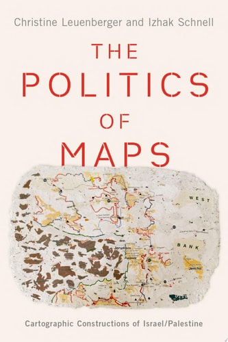
The Land Between The Mediterranean Sea And The Jordan Valley Has Been One Of The Most Disputed Territories In History. Since The Establishment Of The State Of Israel In 1948, Palestinians And Israelis Have Each Sought Claim To The National Identity Of The Land Through Various Martial, Social And Scientific Tactics, But No Method Has Offered As Much Legitimacy And National Controversy As That Of The Map. The Politics Of Maps Delves Beneath The Battlefield To Unearth The Cartographic Strife Behind The Israel/palestine Conflict. Blending Science And Technology Studies, Sociology, And Geography With A Host Of Archival Material, In-depth Interviews And Ethnographies, This Book Explores How The Geographical Sciences Came To Be Entangled With The Politics, Territorial Claim-making, And Nation-state Building Of Israel/palestine. Chapters Chart The Cartographic History Of The Region, From The Introduction Of Western Scientific And Legal Paradigms That Seemingly Legitimized And Depoliticized New Land Regimes To The Rise Of New Mapping Technologies And Software That Expanded Access To Cartography Into The Public Sphere. Maps Produced By Various Sectors Like The Peace Camps Or The Jewish Community Enhanced National Belonging, While Others, Like That Of The Green Line, Served Largely To Divide. The Stories Of Israel's Many Boundaries Reveal That There Is No Absolute, Technocratic Solution To Boundary-making. As Boundaries Continue To Be Controversial And The Israeli-palestinian Conflict Remains Intractable And Unresolved, The Politics Of Maps Uses Nationally-based Cartographic Discourses To Provide Insight Into The Complexity, Fissures And Frictions Within Internal Political Debates, Illuminating The Persistent Power Of The Nation-state As A Framework For Forging Identities, Citizens, And Alliances.
Menrva's Summary
THE THESIS
This book investigates how cartography has functioned as a primary instrument for establishing national identity and territorial legitimacy within the Israel-Palestine conflict. Authors Christine Leuenberger and Izhak Schnell, both experts in sociology and geography, synthesize archival research, ethnographic interviews, and science and technology studies to argue that maps are not neutral representations of space but are instead deeply embedded in the political and social construction of the nation-state. They demonstrate how mapping practices have been utilized by various factions to solidify claims, define boundaries, and influence public perception of the region's history.
THE SCOPE MAP
What You Will Find
- Historical analysis of Western scientific and legal paradigms applied to regional land regimes.
- Examination of the evolution from state-controlled cartography to public-access mapping software.
- Case studies on the symbolic and political function of specific boundaries, such as the Green Line.
- Qualitative data derived from in-depth interviews and ethnographic fieldwork.
Scope Limits
- The text does not provide a comprehensive military history of the conflict outside of its relation to cartographic practices.
- It does not offer a technical manual for modern GIS software or advanced cartographic design.
THE AUTHORITY PERSPECTIVE
Scholars in the fields of political geography and Middle Eastern studies recognize this work as a significant contribution to the study of how spatial representation influences political discourse. Readers frequently note the academic density of the prose, which is well-suited for researchers and students interested in the intersection of technology, sociology, and statecraft.
Page Count:
256
Publication Date:
2020-01-01
Publisher:
Oxford University Press
ISBN-10:
0190076240
ISBN-13:
9780190076245
History
Middle Eastern
Cartography
Geography
Sociology
Community Tags
Similar Books