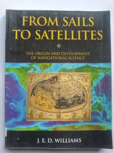
From Sails to Satellites
0
0
As an Amazon Associate and affiliate partner, Menrva Books earns from qualifying purchases. Learn more
Author Description
When Hipparchus invented the coordinate system of latitude and longitude, a rough latitude could be found, at least on land, with solar measurements, but it would take another two thousand years before longitude could be measured accurately at sea. Indeed, before the perfection of the sextant and chronometer in the 18th century, sailors navigated on long voyages without knowing where they were for much of the time. In 1991, in contrast, single-seater pest-spraying aircraft in the Sahara Desert routinely fixed their position with an accuracy of thirty yards using the Navstar Global Positioning System (GPS). The Navstar system, which employs 18 satellites around the earth, even boasts hand-held models costing less than a thousand dollars, within the budget of most weekend sailors.From Sails to Satellites traces the history of navigational science from the earliest systems of dead reckoning, to astrolabes and cross-staffs, to the ultra-modern guidance systems used by planes, ships, and missiles. Williams recounts the two-hundred-year Great Pursuit of Longitude, ranging from 1598, when Philip III of Spain offered lavish prizes for its discovery (and ironically brushed off Galileo, the only person alive who was on the right track); to 1759, when the most famous marine chronometer of all time, chronometer No. 4 built by John Harrison, a Yorkshire carpenter turned clockmaker, accurately measured longitude; to the development of the sextant, the first practical way to measure longitude. Williams discusses how in the 19th century great strides were made in the perfection of the pivoted needle compass, in nautical astronomy, in tidal prediction, and in marine lights, but it was with the Wright Brother's successful flight that navigation once again moved to the front ranks of science. He reveals how even as the first airplane flew in Kitty Hawk, scientists in America and Italy were developing radio direction-finding, while in Germany Anschutz-Kaempfe was developing the first g
Menrva's Summary
THE THESIS
This book investigates the historical evolution of navigational science, tracing the transition from rudimentary dead reckoning to the precision of modern satellite-based systems. J. E. D. Williams, an expert in the field, examines the technical and human challenges inherent in determining position at sea and in the air. By analyzing the development of tools ranging from the astrolabe to the GPS, the author constructs a framework that highlights how the quest for accurate navigation has consistently driven scientific and engineering innovation.
THE SCOPE MAP
What You Will Find
- A detailed history of the Great Pursuit of Longitude spanning from the 16th to the 18th century.
- Technical analysis of navigational instruments including the astrolabe, cross-staff, sextant, and marine chronometer.
- Examination of the impact of the Wright brothers' flight on the advancement of aerial navigation.
- Discussion of the transition from mechanical tools to radio direction-finding and satellite-based GPS technology.
THE AUTHORITY PERSPECTIVE
Experts and readers alike recognize this work as a comprehensive technical history of navigation that balances mechanical detail with historical narrative. The text is frequently cited for its clear explanation of how specific inventions solved long-standing problems in maritime and aerial positioning.
Page Count:
319
Publication Date:
1994-01-01
Publisher:
Oxford University Press Oxford 1994
ISBN-10:
019856399X
ISBN-13:
9780198563990
Science
History
Ships
Navigation
Transportation
Technology
Community Tags
Similar Books