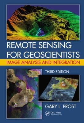
Remote Sensing for Geoscientists: Image Analysis and Integration
0
0
As an Amazon Associate and affiliate partner, Menrva Books earns from qualifying purchases. Learn more
Author Description
Author description coming soon. We're reaching out to them in the ether...
Menrva's Summary
THE THESIS
This book provides a comprehensive guide to remote sensing techniques for geoscientists, focusing on image analysis and data integration. It aims to equip readers with the knowledge and practical skills necessary to effectively utilize remote sensing data in various geoscience applications. The text covers fundamental principles, advanced analytical methods, and the integration of diverse datasets to derive meaningful geological information.
THE SCOPE MAP
- Principles of electromagnetic radiation and sensor systems
- Image processing techniques including filtering, enhancement, and classification
- Methods for integrating remote sensing data with other geospatial datasets (e.g., GIS, GPS)
- Case studies demonstrating applications in geology, geomorphology, and natural resource exploration
- Discussion of emerging technologies and future trends in remote sensing for geosciences
THE AUTHORITY PERSPECTIVE
The book is structured to serve as a practical manual for geoscientists, suggesting a focus on applied methodologies and real-world examples. Its emphasis on image analysis and data integration indicates a target audience seeking to enhance their quantitative skills in interpreting remote sensing data for geological purposes. The inclusion of case studies points to a pedagogical approach designed to illustrate the utility and application of these techniques in professional contexts.
Page Count:
0
Publication Date:
2013-01-01
ISBN-10:
1466561742
ISBN-13:
9781466561748
Science
Non-Fiction
Remote sensing
Geoscience
Community Tags
Similar Books