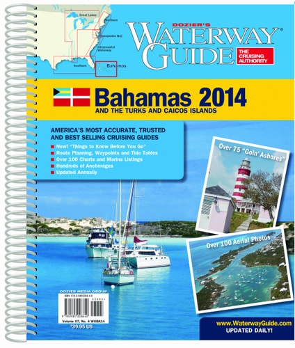
Waterway Guide Bahamas 2015
0
0
As an Amazon Associate and affiliate partner, Menrva Books earns from qualifying purchases. Learn more
Author Description
Updated annually, the Waterway Guide Bahamas 2015 edition is the indispensable cruising companion for boaters exploring the Bahamas and the Turks and Caicos. The guide features mile-by-mile navigation information, aerial photography with marked routes, marina listings and locator charts, anchorage information and expanded Goin' Ashore articles on ports along the way. Helpful cruising data like GPS waypoints, detailed planning maps, distance charts and bridge tables help get cruisers there safely. Flexible spiral binding and heavy laminated covers with bookmarker flaps ensure durability and easy use in the cockpit and at the helm.
Menrva's Summary
THE THESIS
The Waterway Guide Bahamas 2015 edition serves as a comprehensive navigational resource for mariners exploring the waters of the Bahamas and the Turks and Caicos. This guide provides detailed, mile-by-mile navigation information, including aerial photography with marked routes, essential for safe passage. It also lists marinas, identifies anchorages, and offers expanded 'Goin' Ashore' articles for key ports, ensuring boaters have all the necessary information for their voyages.
THE SCOPE MAP
- Mile-by-mile navigation information
- Aerial photography with marked routes
- Marina listings and locator charts
- Anchorage information
- Expanded 'Goin' Ashore' articles for ports
- GPS waypoints
- Detailed planning maps
- Distance charts and bridge tables
THE AUTHORITY PERSPECTIVE
This guide is presented as an indispensable cruising companion, updated annually to provide the most current information for boaters. The detailed navigational data, including aerial photography and GPS waypoints, aims to ensure safe passage through the complex waterways of the Bahamas and Turks and Caicos. Its practical features, such as flexible spiral binding and laminated covers, are designed for durability and ease of use in a marine environment. The inclusion of expanded port articles suggests a focus on enhancing the overall cruising experience beyond mere navigation.
Page Count:
424
Publication Date:
2014-10-01
Publisher:
Dozier's Waterway Guide
ISBN-10:
0990395502
ISBN-13:
9780990395508
Travel
Non-Fiction
Boating
Navigation
Bahamas
Community Tags
Similar Books