North West and the Pennines: Nicholson Guide to the Waterways
0
0
As an Amazon Associate and affiliate partner, Menrva Books earns from qualifying purchases. Learn more
Author Description
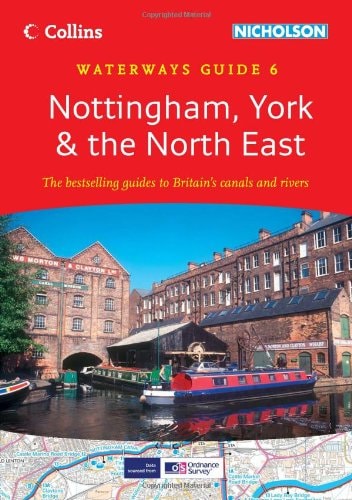
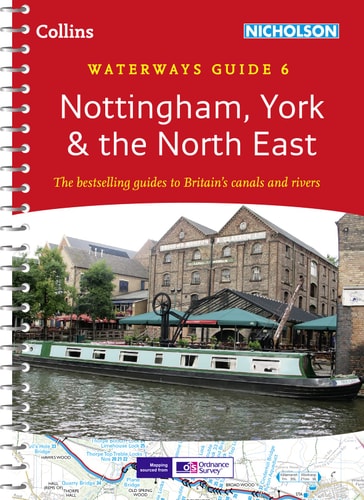
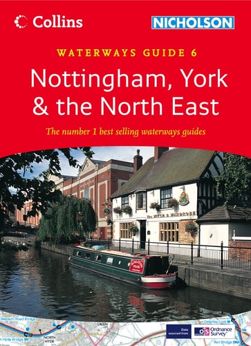
This guide to the waterways of the North West and the Pennines features four-colour Ordnance Survey mapping, with facilities and towpaths clearly shown, and comprehensive navigational notes. Newly restored/opened canals and rivers are included. The navigational notes contain information on planning a cruise, using a lock and bridges, winding holes, boatyards and local services. The notes also cover the history of each canal, places of interest, pubs and restaurants and opportunities for walking and cycling. The waterways featured in this guide are Aire and Calder Navigation, Bridgewater Canal, Calder and Hebble Navigation, Huddersfield Broad Canal, Huddersfield Narrow Canal, Lancaster Canal, Leeds and Liverpool Canal, Macclesfield Canal, Peak Forest and Ashton Canals, Rochdale Canal and Trent and Mersey Canal.
Menrva's Summary
THE THESIS
This guide serves as a comprehensive navigational and recreational resource for boaters and travelers exploring the canal networks of the North West and the Pennines. The Ordnance Survey, utilizing their expertise in cartography and regional geography, provides a structured framework for planning canal journeys. The text integrates technical navigational data with historical context and local amenities to facilitate safe and informed travel across these specific waterways.
THE SCOPE MAP
What You Will Find
- Detailed four-colour Ordnance Survey mapping of canal routes and towpaths.
- Technical navigational instructions for locks, bridges, and winding holes.
- Practical information on boatyards, local services, and cruise planning.
- Historical summaries and recreational recommendations for walking, cycling, and dining.
THE AUTHORITY PERSPECTIVE
This guide is regarded as a standard reference for canal enthusiasts, valued for its combination of precise cartographic data and practical logistical advice. The inclusion of both newly restored routes and established canals makes it a reliable tool for both novice and experienced navigators in the region.
Page Count:
192
Publication Date:
2003-03-01
Publisher:
HarperCollins UK
ISBN-10:
0007136684
ISBN-13:
9780007136681
Travel
United Kingdom
Navigation
England
Waterways
Guidebook
Boating
Community Tags
Similar Books