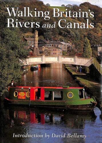
Walking Britain's Rivers & Canals
0
0
As an Amazon Associate and affiliate partner, Menrva Books earns from qualifying purchases. Learn more
Author Description
This is a celebration of the leisurely exploration of over 40 waterside walks through some of Britain's most memorable landscapes - from tranquil Suffolk, along the River Stour and the verdant depths of the Wye Valley to the industrial archaeology of the canals of Manchester and the grandeur of Scotland's Crinan Canal. The book is divided into six regional sections, each containing a mix of routes including circular walks, longer point-to-point walks taking several days to cover, and shorter walks suitable for a day's ramble. Route descriptions are accompanied by information on the history of the area and the places visited, along with details of Ordnance Survey maps required, parking facilities, public transport links and places to stay.
Menrva's Summary
THE THESIS
This guide investigates the intersection of British landscape history and recreational walking by cataloging over 40 distinct waterside routes. P. Attenbury provides a structured framework for exploring diverse terrains, ranging from rural riverbanks to industrial canal networks. By synthesizing logistical data with historical context, the author argues that waterside paths offer a unique lens through which to observe the evolution of Britain's geography and infrastructure.
THE SCOPE MAP
What You Will Find
- Six regional sections covering diverse British landscapes from Suffolk to Scotland.
- A mix of route types including circular day walks and multi-day point-to-point treks.
- Practical logistical data including parking, public transport links, and accommodation options.
- Historical and archaeological context for the areas surrounding the rivers and canals.
THE AUTHORITY PERSPECTIVE
The text functions as a comprehensive, utilitarian resource for hikers and regional historians interested in the specific geography of British waterways. Its focus on logistical precision and historical background suggests a high level of utility for those planning structured outdoor excursions.
Page Count:
192
Publication Date:
1999-01-01
Publisher:
Harpercollins Pub Ltd
ISBN-10:
0002187531
ISBN-13:
9780002187534
Travel
Outdoor Recreation
Rivers
Canals
Walking
Great Britain
Geography
Hiking
Community Tags
Similar Books