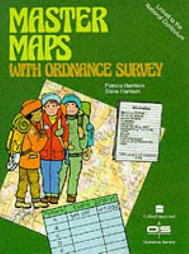
Master Maps with Ordnance Survey
0
0
As an Amazon Associate and affiliate partner, Menrva Books earns from qualifying purchases. Learn more
Author Description
No description available.
Menrva's Summary
THE THESIS
This text investigates the fundamental techniques and practical applications required to interpret and utilize Ordnance Survey maps effectively. The authors, Patricia and Steve Harrison, provide a structured guide for readers to navigate the complexities of British topographical mapping. By breaking down symbols, grid references, and scale, the book establishes a clear framework for both recreational and professional map reading. It serves as a foundational resource for understanding the spatial data represented in standard British cartographic products.
THE SCOPE MAP
What You Will Find
- Detailed explanations of map symbols and legend interpretation
- Practical methodologies for calculating distance and elevation
- Techniques for grid referencing and coordinate navigation
- Analysis of map scales and their impact on terrain representation
THE AUTHORITY PERSPECTIVE
The content suggests a highly practical, instructional approach designed for individuals seeking to master traditional navigation skills. The focus on technical accuracy and standard cartographic conventions positions this as a reliable reference for outdoor enthusiasts and students of geography.
Page Count:
32
Publication Date:
1990-03-03
Publisher:
HarperCollins Publishers
ISBN-10:
0003161242
ISBN-13:
9780003161243
Non-Fiction
Atlases & Maps
Earth Sciences
Geography
Reference
Science & Math
World
Cartography
Education