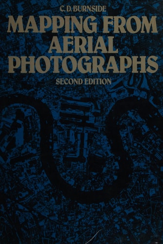
Mapping from Aerial Photographs
0
0
As an Amazon Associate and affiliate partner, Menrva Books earns from qualifying purchases. Learn more
Author Description
An introductory text for civil engineers, surveyors and geographers, explaining the use of aerial photography in producing mapsheets. Numerous applications include natural resource surveys, civil engineering site preparation, transport system planning, urban or rural development and cartography in remote areas. Discusses formation and adjustment of blocks and auxiliary instruments for providing control data, including most recent advances in instrumentation. Over 100 drawings and photographs.
Menrva's Summary
THE THESIS
This text investigates the technical methodologies and practical applications of aerial photography in the production of accurate cartographic mapsheets. The author, C.D. Burnside, leverages his professional background in surveying and civil engineering to provide a structured guide for students and practitioners. The book synthesizes theoretical principles of photogrammetry with the operational requirements of modern mapping projects, emphasizing the integration of auxiliary instrumentation and control data adjustment.
THE SCOPE MAP
What You Will Find
- Principles of aerial photography for cartographic map production
- Techniques for the formation and adjustment of photogrammetric blocks
- Utilization of auxiliary instruments for control data acquisition
- Applications in natural resource surveys, site preparation, and infrastructure planning
THE AUTHORITY PERSPECTIVE
The text serves as a foundational reference for students and professionals in the fields of surveying and civil engineering. Its focus on both historical techniques and instrumentation advances provides a comprehensive overview of the technical requirements for aerial mapping projects.
Page Count:
320
Publication Date:
1987-03-20
Publisher:
Blackwell Science Ltd
ISBN-10:
0003830365
ISBN-13:
9780003830361
Cartography
Civil Engineering
Surveying
Geography
Remote sensing
Community Tags
Similar Books