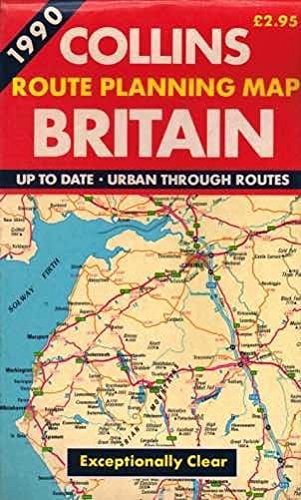
Route Planning Map: Britain
0
0
As an Amazon Associate and affiliate partner, Menrva Books earns from qualifying purchases. Learn more
Author Description
A double sided map of Britain at a scale of 1:550,000.
Menrva's Summary
THE THESIS
This publication provides a comprehensive cartographic representation of the British road network at a scale of 1:550,000. The author, Collins, utilizes established cartographic standards to render the primary and secondary transit routes across the United Kingdom. The map is designed to facilitate navigation and spatial planning for travelers and logistics professionals requiring a broad overview of the national infrastructure.
THE SCOPE MAP
What You Will Find
- Detailed road network coverage for the entire United Kingdom
- A consistent 1:550,000 cartographic scale
- Double-sided physical format for ease of use in transit
- Standardized symbology for road classifications and major landmarks
THE AUTHORITY PERSPECTIVE
This map serves as a functional reference tool for those requiring a static, non-digital overview of British geography. Its utility is defined by the clarity of its cartographic presentation and the reliability of the road data provided by the publisher.
Page Count:
0
Publication Date:
1990-01-08
Publisher:
HarperCollins Publishers
ISBN-10:
0004477634
ISBN-13:
9780004477633
Travel
Atlases & Maps
Maps
Geography
Reference
Community Tags
Similar Books