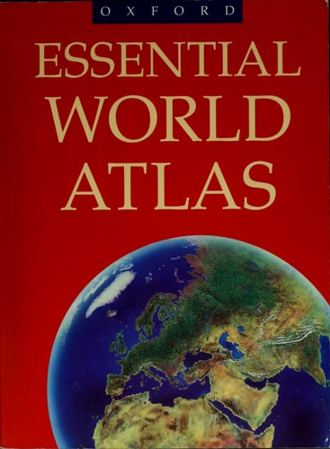
Essential World Atlas
0
0
As an Amazon Associate and affiliate partner, Menrva Books earns from qualifying purchases. Learn more
Author Description
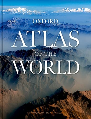
The paperback edition of the Oxford Atlas of the World features outstanding, full-color relief maps of unsurpassed clarity and arresting beauty. With new features such as state-of-the-art digital maps of Europe, created using the latest available sources (maps, satellite imagery, and census data) to produce crisp color and seamless layouts, this comprehensive reference incorporates literally hundreds of significant changes from across the globe, including the nine new South African provinces, the reshaping of the former Soviet Republics, and the new African nation of Eritrea.Of course, the basic qualities of the Atlas--the exquisite mapmaking and the wealth of supplemental information--are superb. The 96-page section of large-scale world maps at the heart of the book, as well as a 35,000-name general index with full geographical coordinates, provides detailed political and topographical information for every nation on Earth. Alongside this is a 48-page section of United States maps offering multicolored political, topographical and climate maps, as well as close-ups of urban areas. This section has its own 7,000-name index with geographical coordinates, making finding any town, region, or mountain range an easy task. Balanced coverage of the world is given at carefully selected scales, and the easy-to-use index provides letter-figure grid references and latitude and longitude coordinates. Other features include statistics on countries (population, area, annual income), physical dimensions of continents, oceans, mountains, islands, and rivers, an explanation of map projections, a user's guide, and a guide to the flags of the world.Handy, meticulously crafted, and thoroughly updated, Oxford's Atlas of the World, Paperback Edition offers the finest international coverage available. It is an indispensable resource, as distinguished in its accuracy as it is in its comprehensive global focus. From the serious student to the casual browser, this atlas is the perfect additi
Menrva's Summary
THE THESIS
This volume serves as a comprehensive geographical reference tool designed to provide accurate, high-resolution cartographic data for global navigation and study. Oxford University Press utilizes advanced satellite imagery, census data, and traditional cartographic techniques to document political and topographical shifts across the globe. The work functions as a primary resource for students, researchers, and general readers requiring precise geographical coordinates and statistical information.
THE SCOPE MAP
What You Will Find
- A 96-page section of large-scale world maps featuring political and topographical data.
- A 48-page dedicated section for United States maps, including urban close-ups and climate data.
- A 35,000-name general index and a 7,000-name United States index, both including latitude and longitude coordinates.
- Statistical appendices covering population, area, annual income, and a guide to international flags.
THE AUTHORITY PERSPECTIVE
Experts and educators frequently cite this atlas as a standard reference for its cartographic clarity and the reliability of its updated political boundaries. Readers often note the high density of information provided in the index and the utility of the coordinate system for academic research.
Page Count:
232
Publication Date:
1996-10-03
Publisher:
Oxford University Press
ISBN-10:
0195212673
ISBN-13:
9780195212679
Non-Fiction
Atlases & Maps
New Used & Rental Textbooks
Maps
Geography
Atlases
Reference
Community Tags
Similar Books