Collins road atlas of Britain and Ireland
0
0
As an Amazon Associate and affiliate partner, Menrva Books earns from qualifying purchases. Learn more
Author Description
No description available.
Menrva's Summary
THE THESIS
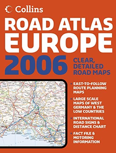
This volume serves as a comprehensive cartographic reference designed to facilitate navigation and spatial orientation across the road networks of Great Britain and Ireland. The work is produced by William Collins Sons and Co., a long-standing publisher known for its cartographic and reference materials. It utilizes detailed topographical and infrastructural data to provide a systematic overview of highways, secondary roads, and regional connectivity for the mid-1980s period.
THE SCOPE MAP
What You Will Find
- Detailed road network mapping for England, Scotland, Wales, and Ireland
- Index of major towns, cities, and regional landmarks
- Cartographic legends defining road classifications and distance markers
- Regional administrative boundaries and topographical features
THE AUTHORITY PERSPECTIVE
The work functions as a standard reference tool for historical navigation, reflecting the road infrastructure and geographical layout of the British Isles during the 1980s. Its utility lies in its role as a static record of regional connectivity and cartographic standards from that era.
Page Count:
174
Publication Date:
1984-01-01
Publisher:
Collins
ISBN-10:
0004474910
ISBN-13:
9780004474915
Travel
United Kingdom
Geography
Europe
Maps
Reference
Ireland
Community Tags
Similar Books