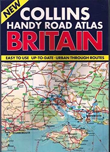
Handy Road Atlas of Britain
0
0
As an Amazon Associate and affiliate partner, Menrva Books earns from qualifying purchases. Learn more
Author Description
This atlas of Britain is at a scale of nine miles to one inch. The atlas is designed to be used in planning journeys and for using en route. Larger scale mapping at four miles to one inch of some areas enables routes to be determined through congested areas. A place name index is included.
Menrva's Summary
THE THESIS
This atlas provides a comprehensive cartographic resource designed to facilitate navigation and route planning across the British road network. The publication by Collins utilizes varying scales to balance broad regional overviews with detailed navigation through high-density urban environments. It serves as a practical tool for both pre-trip logistics and real-time orientation for motorists.
THE SCOPE MAP
What You Will Find
- Standard mapping scale of nine miles to one inch for general navigation.
- Enlarged four miles to one inch mapping for congested urban areas.
- Comprehensive place name index for rapid location identification.
- Cartographic data optimized for both journey planning and en route reference.
THE AUTHORITY PERSPECTIVE
This atlas is regarded as a functional, utilitarian reference tool for drivers requiring reliable physical mapping of the United Kingdom. The inclusion of dual-scale mapping suggests a focus on practical utility for navigating both rural transit and complex city centers.
Page Count:
80
Publication Date:
1992-02-06
Publisher:
HarperCollins Publishers
ISBN-10:
0004479181
ISBN-13:
9780004479187
Travel
Reference
United Kingdom
Maps
Geography
Community Tags
Similar Books














