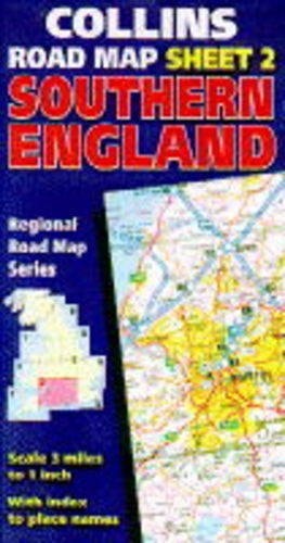
Hungary, Czech Republic, Slovakia and Poland Road Map
0
0
As an Amazon Associate and affiliate partner, Menrva Books earns from qualifying purchases. Learn more
Author Description
No description available.
Menrva's Summary
THE THESIS
This document serves as a navigational reference for motorists and travelers traversing the Central European region during the mid-1990s. The publication provides a cartographic framework for Hungary, the Czech Republic, Slovakia, and Poland, capturing the infrastructure and road networks as they existed in the post-Soviet transition era. It functions as a practical tool for spatial orientation and route planning across these four nations.
THE SCOPE MAP
What You Will Find
- Detailed road network layouts for Hungary, Czech Republic, Slovakia, and Poland.
- Cartographic representations of major highways, secondary roads, and regional transit corridors.
- Geographical data reflecting the political and administrative borders of the mid-1990s.
- Indexing for major urban centers and key transit hubs within the covered territories.
THE AUTHORITY PERSPECTIVE
This map functions as a historical snapshot of Central European infrastructure during a period of significant geopolitical and economic reorganization. It provides a static, technical record of regional connectivity that is primarily of interest to cartographic collectors or historians of late 20th-century European travel.
Page Count:
0
Publication Date:
1996-07-04
Publisher:
HarperCollins Publishers
ISBN-10:
0004485491
ISBN-13:
9780004485492
Travel
Maps
Central Europe
Europe
Poland
Czech Republic
Hungary
Slovakia
Reference
Community Tags
Similar Books