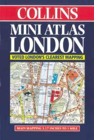
Collins London Mini Atlas
0
0
As an Amazon Associate and affiliate partner, Menrva Books earns from qualifying purchases. Learn more
Author Description
This atlas, in pocket-sized format, covers from Chiswick to Barking and from Hackney to Dulwich. Roads and buildings are colour classified and there is information on car parks, hospitals and police stations. An Underground map is included on the rear cover.
Menrva's Summary
THE THESIS
This pocket-sized atlas serves as a functional navigational tool for identifying streets, infrastructure, and essential services within the Greater London area. The publication provides a condensed cartographic representation of the city, focusing on the urban sprawl from Chiswick to Barking and Hackney to Dulwich. It utilizes a standardized color-coding system to distinguish between road types and building categories, ensuring rapid information retrieval for the user.
THE SCOPE MAP
What You Will Find
- Detailed street-level cartography covering central and inner London districts.
- Color-coded classification for roads and major building structures.
- Integrated data on essential public infrastructure including car parks, hospitals, and police stations.
- A supplementary London Underground map located on the rear cover for transit reference.
THE AUTHORITY PERSPECTIVE
The subject matter points to a highly practical, utilitarian reference tool designed for the mobile urban user. Its compact format and focus on essential city services suggest a focus on portability and immediate navigational utility rather than exhaustive historical or architectural detail.
Page Count:
128
Publication Date:
1998-01-01
Publisher:
Collins
ISBN-10:
0004488148
ISBN-13:
9780004488141
Travel
London
Maps
Geography
Reference
London Greater London
Community Tags
Similar Books














