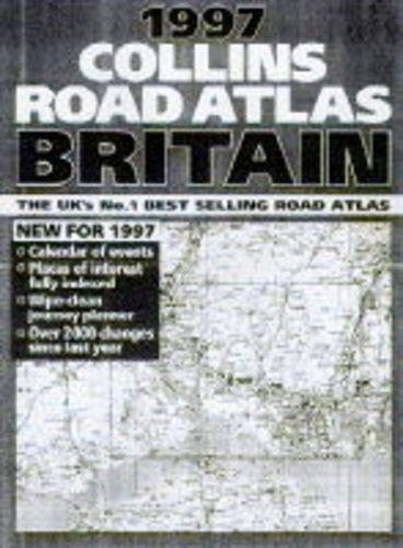
Collins Road Atlas: Britain 1997
0
0
As an Amazon Associate and affiliate partner, Menrva Books earns from qualifying purchases. Learn more
Author Description
No description available.
Menrva's Summary
THE THESIS
This atlas provides a comprehensive cartographic representation of the British road network as it existed in 1997 to facilitate navigation and route planning. The publication is produced by the cartographic division of HarperCollins, utilizing standardized surveying data and topographical mapping techniques common to late 20th-century reference materials. It serves as a static record of infrastructure, including major motorways, A-roads, and secondary routes across England, Scotland, and Wales.
THE SCOPE MAP
What You Will Find
- Detailed road network mapping for the entirety of Great Britain.
- Index of place names for rapid location identification.
- Cartographic keys and symbols for road classifications and points of interest.
- Regional and urban inset maps for high-density areas.
THE AUTHORITY PERSPECTIVE
This volume functions as a historical reference tool for understanding the state of British infrastructure during the mid-1990s. Its utility is primarily archival, offering a snapshot of transit connectivity prior to significant modern road developments.
Page Count:
139
Publication Date:
1996-01-01
Publisher:
Collins
ISBN-10:
0004483731
ISBN-13:
9780004483733
Travel
Geography
Great Britain
Maps
Reference
Europe
United Kingdom
Food Lodging & Transportation
Road Travel
Community Tags
Similar Books