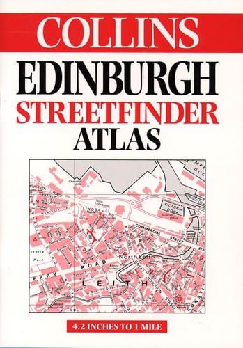
Collins Edinburgh Streetfinder Atlas
0
0
As an Amazon Associate and affiliate partner, Menrva Books earns from qualifying purchases. Learn more
Author Description
A two-colour map of Edinburgh, featuring car parks, cinemas, museums and theatres, a legend in English, French and German, and indexes of street names and places of interest. The map stretches from the airport to Musselburgh and the Firth of Forth to Bonnyrigg.
Menrva's Summary
THE THESIS
This atlas provides a comprehensive cartographic reference tool designed to facilitate navigation and orientation within the city of Edinburgh and its immediate surroundings. The publication serves as a practical resource for residents and visitors, utilizing a two-color printing process to distinguish key urban features and infrastructure. By integrating detailed street indexes with marked points of interest, the work offers a structured spatial framework for urban exploration.
THE SCOPE MAP
What You Will Find
- Detailed street-level mapping covering the area from Edinburgh Airport to Musselburgh.
- Geographic coverage extending from the Firth of Forth in the north to Bonnyrigg in the south.
- Multilingual legend support provided in English, French, and German.
- Indexed listings for street names, car parks, cinemas, museums, and theaters.
THE AUTHORITY PERSPECTIVE
The atlas functions as a standard, utilitarian reference document intended for practical navigation rather than academic analysis. Its design prioritizes clarity and accessibility for the user, reflecting the established cartographic conventions of the Collins brand.
Page Count:
76
Publication Date:
1998-01-01
Publisher:
Collins
ISBN-10:
0004487141
ISBN-13:
9780004487144
Travel
Maps
Scotland
Geography
Reference
Community Tags
Similar Books