Collins Route Planning Map: Spain and Portugal
0
0
As an Amazon Associate and affiliate partner, Menrva Books earns from qualifying purchases. Learn more
Author Description
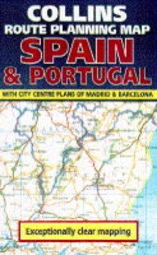
This addition to the "Route Planning" series has a scale of 1:1,250,000 (approximately 20 miles to one inch). It includes coverage of the Balearic Islands. The new mapping has been designed specifically with the needs of route and journey planning by all means of transport in mind. It shows: fully classified roads, including toll motorways and "E" routes; railways, including high-speed lines; airports and ferries; main tourist sites; and beaches. Additional route-planning information includes a distance chart, airport/ferry/Motorail and tourist office details, and town plans of Madrid and Barcelona. The legend is in five languages, and there is a full index to place names on the reverse.
Menrva's Summary
THE THESIS
This map serves as a comprehensive navigational tool designed to facilitate efficient route planning and travel logistics across the Iberian Peninsula. The author, Donald Ralston, utilizes cartographic data to provide a clear, scaled representation of Spain and Portugal, specifically tailored for travelers utilizing various modes of transport. The framework emphasizes clarity and utility, integrating essential infrastructure details with tourist-focused information to support both long-distance planning and local navigation.
THE SCOPE MAP
What You Will Find
- Detailed road network classification including toll motorways and E-routes
- Integrated transit infrastructure data covering railways, high-speed lines, airports, and ferry routes
- Supplemental planning resources such as distance charts and town plans for Madrid and Barcelona
- Multilingual legend and comprehensive place-name index
THE AUTHORITY PERSPECTIVE
The subject matter points to a highly functional, specialized reference tool intended for practical use by motorists and travelers. The inclusion of specific transit data and urban inserts suggests a focus on utility for those navigating the region's primary transport corridors.
Page Count:
0
Publication Date:
1995-01-01
Publisher:
Bartholomews
ISBN-10:
0004481712
ISBN-13:
9780004481715
Travel
Atlases & Maps
Geography
Maps
Reference
Spain
Europe
Portugal
Community Tags
Similar Books