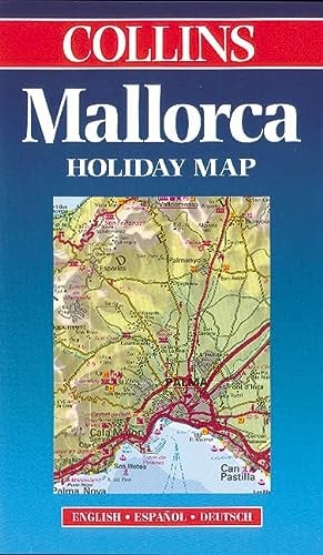
Majorca (Collins Holiday Map)
0
0
As an Amazon Associate and affiliate partner, Menrva Books earns from qualifying purchases. Learn more
Author Description
No description available.
Menrva's Summary
THE THESIS
This publication serves as a comprehensive cartographic reference designed to facilitate navigation and spatial orientation for travelers visiting the island of Majorca. The document is produced by Collins and Bartholomew, established entities in the field of commercial cartography, utilizing standardized mapping techniques to represent the island's topography, road networks, and points of interest. It provides a structured visual framework intended to assist users in planning routes and identifying geographical features across the region.
THE SCOPE MAP
What You Will Find
- Detailed road network mapping including primary and secondary routes
- Topographical representations of the island's terrain
- Identification of major urban centers, coastal regions, and landmarks
- Cartographic legends and scale indicators for distance estimation
THE AUTHORITY PERSPECTIVE
The material functions as a standard navigational tool, prioritizing clarity and functional utility for the end user. Its design reflects the established conventions of late-twentieth-century commercial map production, focusing on accessibility for the general public.
Page Count:
0
Publication Date:
1998-02-02
Publisher:
Collins
ISBN-10:
0004487508
ISBN-13:
9780004487502
Travel
Geography
Europe
Spain
Maps
Atlases & Maps
Reference
Community Tags
Similar Books