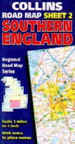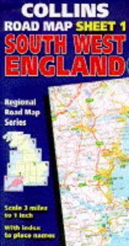
South-west England: Collins Regional Road Map
0
0
As an Amazon Associate and affiliate partner, Menrva Books earns from qualifying purchases. Learn more
Author Description
One of a regional road map series covering England and Wales. The mapping is detailed with clear colour-classified roads, hillshading and tourist information. All sheets have a full index to all place names and adjoining sheets fit together with an overlap area.
Menrva's Summary
THE THESIS
This regional road map provides a comprehensive navigational framework for motorists and travelers traversing the South-west of England. The cartographic team at Collins utilizes standardized topographical data and road classification systems to assist users in route planning and spatial orientation. By integrating physical geography with infrastructure details, the map serves as a practical tool for navigating the specific regional landscape.
THE SCOPE MAP
What You Will Find
- Detailed road network classification with color-coded hierarchy
- Topographical representation through hillshading techniques
- Comprehensive index of place names for efficient location lookup
- Integrated tourist information highlighting regional points of interest
- Overlapping sheet design to facilitate seamless transitions between adjacent map areas
THE AUTHORITY PERSPECTIVE
This map is regarded as a functional, utilitarian resource for traditional navigation within the specified geographic region. The inclusion of hillshading and tourist markers suggests a focus on both logistical efficiency and regional exploration for the end user.
Page Count:
0
Publication Date:
1996-01-04
Publisher:
Collins
ISBN-10:
0004482743
ISBN-13:
9780004482743
Travel
Geography
Atlases & Maps
Great Britain
Reference
Travel Maps
Maps
Europe
England
Community Tags
Similar Books