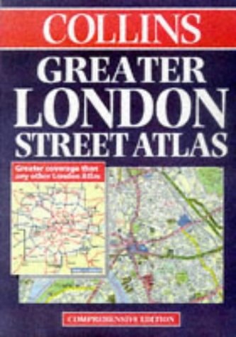
Collins Greater London Street Atlas
0
0
As an Amazon Associate and affiliate partner, Menrva Books earns from qualifying purchases. Learn more
Author Description
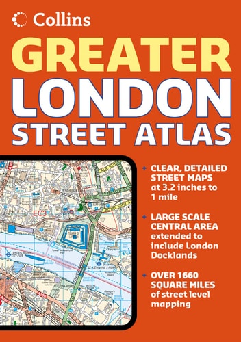
Extending from Welwyn Garden City in the North to Gatwick in the South, and from Windsor in the West to Gravesend in the East, this atlas includes theatre, cinema, shopping and underground maps; red route maps; an M25 mileage chart; and colour-coded roads, buildings and land use.
Menrva's Summary
THE THESIS
This atlas provides a comprehensive cartographic reference for navigating the Greater London area and its surrounding commuter belt. Edited by Mike Cottingham, the volume serves as a practical tool for motorists, commuters, and urban explorers by integrating detailed street-level data with regional transit information. It utilizes a structured grid system and color-coded mapping to translate complex urban geography into a readable format for navigation.
THE SCOPE MAP
What You Will Find
- Detailed street maps covering the region from Welwyn Garden City to Gatwick and Windsor to Gravesend
- Specialized transit resources including underground maps and theatre district layouts
- Practical navigation aids such as red route maps and an M25 mileage chart
- Color-coded categorization of roads, buildings, and land use for quick visual identification
THE AUTHORITY PERSPECTIVE
This atlas is regarded as a standard reference tool for its era, providing a high level of geographic detail for the London metropolitan area. Its inclusion of specific transit and infrastructure data makes it a functional resource for those navigating the complexities of the city's road and rail networks.
Page Count:
432
Publication Date:
1998-03-02
Publisher:
HarperCollins Publishers
ISBN-10:
0004487273
ISBN-13:
9780004487274
Travel
Europe
Geography
Atlases & Maps
Maps
London
Transportation
Great Britain
Reference
Community Tags
Similar Books