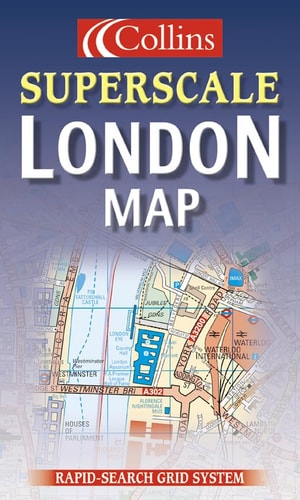
Collins Superscale London Map
0
0
As an Amazon Associate and affiliate partner, Menrva Books earns from qualifying purchases. Learn more
Author Description
1:10,000 6.33 inches to 1 mile Exceptionally clear and colourful mapping with a wealth of detail, all fully revised for this edition. MAIN FEATURES * Exceptionally clear mapping at 6.33 inches to 1 mile * Forty categories of information * Durable card cover * Full index to street names INCLUDES * Places of interest * Major shops * Cinemas, theatres and major hotels * Car parks, BR & LRT stations AREA OF COVERAGE Coverage extends from Earls Court to Whitechapel and from Camden Town to Kennington. WHO THE PRODUCT IS AIMED AT With its exceptionally clear, but detailed mapping this is an excellent general purpose map of central London. OTHER PRODUCTS IN THE SERIES Collins publish a wide range of mapping covering the London area, at various scales.
Menrva's Summary
THE THESIS
This publication provides a high-precision, large-scale cartographic representation of central London designed for navigational clarity and urban orientation. The Collins editorial team utilizes a 1:10,000 scale to synthesize complex metropolitan data into a readable format for residents and visitors. By integrating forty distinct categories of information, the map serves as a primary reference tool for identifying infrastructure, transit hubs, and points of interest within the city core.
THE SCOPE MAP
What You Will Find
- Detailed cartography at a scale of 6.33 inches to 1 mile.
- Comprehensive index of street names for rapid location lookup.
- Categorized markers for public transit, including BR and LRT stations.
- Geographic coverage spanning from Earls Court to Whitechapel and Camden Town to Kennington.
THE AUTHORITY PERSPECTIVE
The technical specifications and focus on high-density urban detail suggest a product intended for practical, daily navigation in a complex metropolitan environment. Its reliance on a standardized, clear visual language indicates a design priority centered on utility and ease of use for the general public.
Page Count:
0
Publication Date:
2000-11-15
Publisher:
William Collins & Sons Ltd
ISBN-10:
0004488326
ISBN-13:
9780004488325
Travel
Reference
London England
Geography
London
Maps
Community Tags
Similar Books














