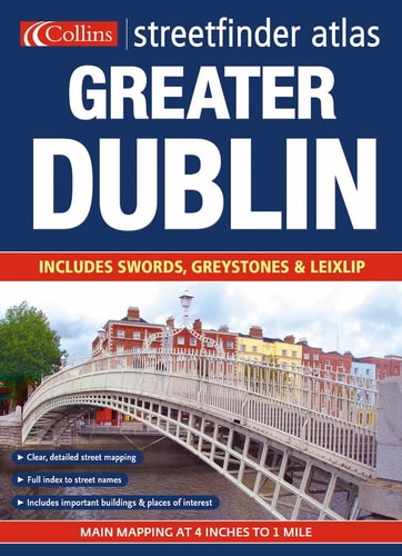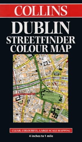
Collins Dublin Streetfinder Colour Map: Clear, Colourful, Large-Scale Mapping, 4 Inches to 1 Mile
0
0
As an Amazon Associate and affiliate partner, Menrva Books earns from qualifying purchases. Learn more
Author Description
No description available.
Menrva's Summary
THE THESIS
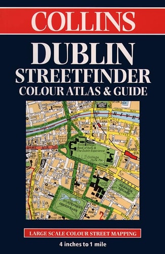
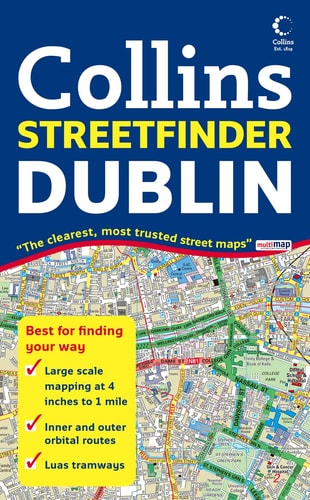
This reference work provides a high-resolution, large-scale cartographic representation of Dublin to facilitate urban navigation and spatial orientation. The publication utilizes the established cartographic standards of Collins to offer a clear, color-coded visual guide for residents and visitors. By maintaining a scale of four inches to one mile, the map ensures that street-level detail remains legible and accessible for practical use in an urban environment.
THE SCOPE MAP
What You Will Find
- Detailed street-level mapping of the Dublin metropolitan area
- Color-coded infrastructure and landmark identification
- Large-scale cartographic rendering at 4 inches to 1 mile
- Comprehensive index of streets and points of interest
THE AUTHORITY PERSPECTIVE
The document serves as a standard navigational tool, prioritizing clarity and ease of use for individuals requiring precise geographic information. Its design reflects the functional requirements of traditional paper-based urban mapping during the late twentieth century.
Page Count:
0
Publication Date:
1998-01-01
Publisher:
Collins
ISBN-10:
0004487125
ISBN-13:
9780004487120
Travel
Cartography
Maps
Reference
Atlases & Maps
Dublin
Community Tags
Similar Books