Map of London
0
0
As an Amazon Associate and affiliate partner, Menrva Books earns from qualifying purchases. Learn more
Author Description
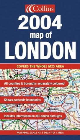
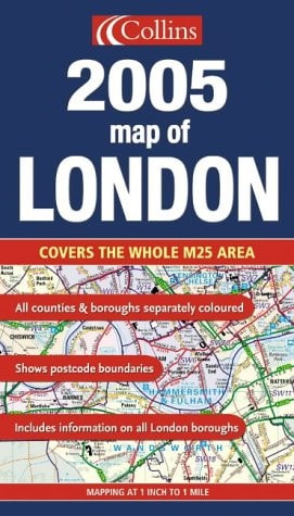
1:63,360 1 Inch To 1 Mile. The Clear, Colourful Mapping Covers The Whole Of The M25 Motorway And Includes Comprehensive Planning And Administrative Information Supported By Seleted Street Level Detail. Main Features A Clear, Colourful Map Of An Area Extending To 20 Miles Around London. The Comprehensive Planning And Administrative Information Is Supported By Selected Street Level Detail Showing Full Road Classification, Place Names And Buildings Of Interest. Includes; Administrative Areas Named And Coloured For Easy Reference; Postcode Information; All Motorways, Main Roads And Major Streets Numbered And Named; Shows Important Buildings And Landmark Features; Fully Indexed; Information On County/borough Size, Population, Contacts Etc. Area Of Coverage Extends From Windsor In The West To Hornchurch In The East. From Harlow In The North To Leatherhead In The South. Covers The Whole Of The M25 Orbital Motorway. Who The Product Is Of Interest To The Definitive Planning Map Of London, Essential For Those Concerned With Administration, Planning And Business.
Menrva's Summary
THE THESIS
This cartographic reference provides a comprehensive, large-scale visual and administrative overview of the London metropolitan area and the surrounding M25 orbital region. Compiled by HarperCollins, this resource serves as a definitive planning tool for professionals, administrators, and businesses requiring precise spatial data. It integrates detailed road classifications with administrative boundaries to facilitate regional logistics and urban planning.
THE SCOPE MAP
What You Will Find
- Detailed 1:63,360 scale mapping covering the entire M25 motorway corridor.
- Administrative and borough-level data including population statistics and contact information.
- Comprehensive indexing of motorways, major roads, and landmark buildings.
- Postcode information and color-coded administrative zones for regional reference.
THE AUTHORITY PERSPECTIVE
The subject matter points to a highly functional, specialist tool designed for professional navigation and administrative planning. Its focus on scale and regional coverage suggests a utility-driven resource intended for office or logistical use rather than casual navigation.
Page Count:
0
Publication Date:
2004-10-28
Publisher:
COLLINS
ISBN-10:
0007179162
ISBN-13:
9780007179169
London Greater London
ScienceMathematics
Maps
London
Cartography
Geography
Reference
Atlases & Maps