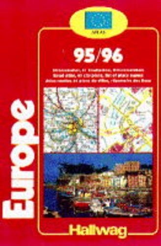
Hallwag Road Atlas Europe
0
0
As an Amazon Associate and affiliate partner, Menrva Books earns from qualifying purchases. Learn more
Author Description
No description available.
Menrva's Summary
THE THESIS
This atlas serves as a comprehensive navigational reference for motorists and travelers traversing the European continent. The work provides detailed cartographic representations of major road networks, national borders, and regional infrastructure as they existed in the mid-1990s. By organizing geographical data into a standardized grid system, the publication aims to facilitate route planning and spatial orientation for international navigation.
THE SCOPE MAP
What You Will Find
- Detailed road network maps covering Western and Eastern Europe.
- Index of major cities, towns, and regional landmarks.
- Cartographic legends defining road classifications, motorways, and secondary routes.
- Distance charts for calculating travel intervals between major European hubs.
THE AUTHORITY PERSPECTIVE
The publication functions as a static historical record of European infrastructure during the mid-1990s, offering a snapshot of transit routes prior to the widespread adoption of digital GPS technology. It remains a useful resource for those interested in the evolution of European cartography and the physical navigation methods of the pre-digital era.
Page Count:
304
Publication Date:
1995-05-01
Publisher:
Sterling Publishing Company, Incorporated
ISBN-10:
0004481550
ISBN-13:
9780004481555
Travel
Europe
Maps
Geography
Reference
Community Tags
Similar Books