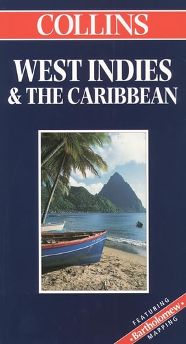
Collins West Indies & the Caribbean
0
0
As an Amazon Associate and affiliate partner, Menrva Books earns from qualifying purchases. Learn more
Author Description
Text: English, French, Spanish
Menrva's Summary
THE THESIS
This reference work serves as a comprehensive cartographic guide designed to assist travelers and researchers in navigating the geography and infrastructure of the West Indies and the Caribbean. The author, Bartholomew, utilizes established cartographic standards to provide detailed visual data on regional topography, maritime routes, and major settlements. The framework focuses on clarity and accessibility, offering a multi-lingual approach to ensure utility for a diverse international audience.
THE SCOPE MAP
What You Will Find
- Detailed regional maps covering the West Indies and the Caribbean basin
- Topographical and political boundary data for major island nations
- Multi-lingual labeling in English, French, and Spanish
- Infrastructure indicators including primary transit routes and coastal features
THE AUTHORITY PERSPECTIVE
This text functions as a standard reference tool for those requiring precise geographical orientation within the Caribbean region. Its multi-lingual design suggests a focus on broad accessibility for international travelers and regional specialists alike.
Page Count:
0
Publication Date:
2000-01-01
Publisher:
Hammond World Atlas Corp
ISBN-10:
0004489012
ISBN-13:
9780004489018
Travel
Caribbean
Reference
Geography
Maps
Community Tags
Similar Books