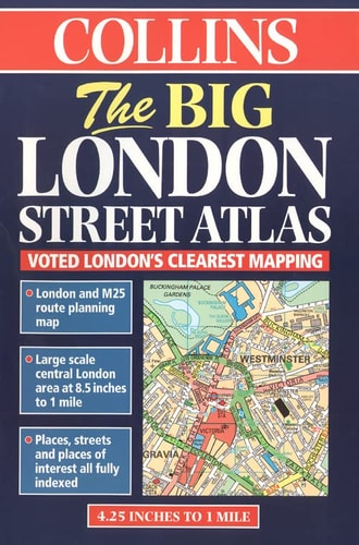
Collins Big London Street Atlas
0
0
As an Amazon Associate and affiliate partner, Menrva Books earns from qualifying purchases. Learn more
Author Description
This London street atlas covers the area from Heathrow Airport in the west to Barking Creek in the east and from Chigwell in the north to Bromley in the south. It includes information on parking, and a M25 and London route planning map. Central London is covered at the extra large scale of 1:7,500.
Menrva's Summary
THE THESIS
This atlas provides a comprehensive cartographic solution for navigating the complex urban landscape of London and its surrounding metropolitan areas. The author, Mike Cottingham, utilizes detailed mapping data to assist drivers and commuters in route planning across the capital. The work serves as a practical reference tool, organizing geographical information into scalable segments to facilitate efficient travel from the city center to the outer suburbs.
THE SCOPE MAP
What You Will Find
- Detailed street-level mapping covering the area from Heathrow Airport to Barking Creek.
- Specialized coverage of Central London at an extra large scale of 1:7,500.
- Integrated route planning information including M25 connectivity.
- Practical data regarding parking locations within the metropolitan zone.
THE AUTHORITY PERSPECTIVE
The subject matter points to a highly functional, utilitarian reference text designed for practical navigation rather than academic study. Its focus on specific scale and regional coverage suggests a reliable resource for those requiring precise spatial orientation within the London area.
Page Count:
104
Publication Date:
1998-01-01
Publisher:
HarperCollins Publishers
ISBN-10:
0004487893
ISBN-13:
9780004487892
Travel
Geography
Maps
London
Reference
Community Tags
Similar Books














