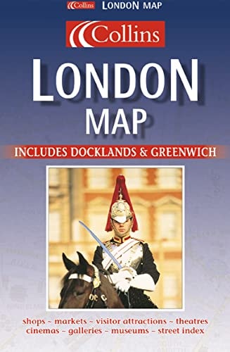
Collins London Map: Includes Greenwich and the Dome
0
0
As an Amazon Associate and affiliate partner, Menrva Books earns from qualifying purchases. Learn more
Author Description
This map covers London fully and completely, from Hammersmith in the West to the Isle of Dogs in the east, Hampstead in the North to Clapham in the South. It features an index of street names and places of interest.
Menrva's Summary
THE THESIS
This publication provides a comprehensive cartographic representation of the Greater London area to facilitate navigation and spatial orientation for residents and visitors. The author, HarperCollins, utilizes established cartographic standards to render the complex urban layout of the city into a portable, accessible format. The work serves as a primary reference tool for identifying street locations and significant landmarks within the specified metropolitan boundaries.
THE SCOPE MAP
What You Will Find
- Detailed street-level mapping covering the area from Hammersmith to the Isle of Dogs.
- North-South coverage spanning from Hampstead to Clapham.
- A comprehensive index of street names and major points of interest.
- Cartographic data including Greenwich and the Millennium Dome site.
THE AUTHORITY PERSPECTIVE
The subject matter points to a functional, utilitarian reference tool designed for practical navigation within a major metropolitan center. The framing suggests a standard cartographic resource intended for general public use rather than specialized academic study.
Page Count:
0
Publication Date:
1997-01-01
Publisher:
William Collins & Sons Ltd
ISBN-10:
0004489772
ISBN-13:
9780004489773
Travel
Atlases & Maps
London
Reference
London Greater London
Geography
Road maps
Maps
Community Tags
Similar Books