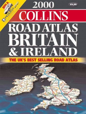
Collins Road Atlas Britain and Ireland
0
0
As an Amazon Associate and affiliate partner, Menrva Books earns from qualifying purchases. Learn more
Author Description
3.2 miles to 1 inch 1:250,000 The ultimate road atlas for the year 2000, featuring the exceptionally clear 'Collins' mapping from the Bartholomew digital database, with handy spiral binding. MAIN FEATURES All new, fully up-to-date mapping covering the whole of Britain and Ireland. INCLUDES * Route planning maps & limited access junction information * Main map section covering the whole of Britain and Ireland * Full London planning and detail section * Urban area maps with inset town centre plans * Comprehensive selection of town centre maps * Full index to place names and places of interest AREA OF COVERAGE The whole of Britain and Ireland WHO THE PRODUCT IS AIMED AT Any driver of any vehicle who requires the latest information, the most complete coverage and the clearest detail of any road atlas. OTHER PRODUCTS IN THE SERIES This title can also be purchased with a paperback binding.
Menrva's Summary
THE THESIS
This atlas provides a comprehensive, high-resolution cartographic reference for navigation across the entirety of Britain and Ireland at the turn of the millennium. The publication utilizes the Bartholomew digital database to offer standardized, clear mapping designed for practical use by motorists and travelers. It serves as a navigational tool for route planning, urban navigation, and identifying key points of interest across the region.
THE SCOPE MAP
What You Will Find
- Detailed road mapping at a scale of 3.2 miles to 1 inch (1:250,000).
- Specialized route planning maps and junction information for major thoroughfares.
- Inset town centre plans and urban area maps for navigation within city limits.
- A comprehensive index of place names and significant landmarks.
THE AUTHORITY PERSPECTIVE
The subject matter points to a highly functional, technical reference tool intended for practical navigation and logistical planning. Its reliance on the Bartholomew digital database suggests a focus on cartographic precision and clarity for the end user.
Page Count:
176
Publication Date:
1999-01-01
Publisher:
Collins
ISBN-10:
0004488539
ISBN-13:
9780004488530
Travel
Maps
Reference
Geography
British Isles
Transportation
Community Tags
Similar Books














