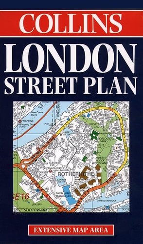
London Street Plan Map
0
0
As an Amazon Associate and affiliate partner, Menrva Books earns from qualifying purchases. Learn more
Author Description
No description available.
Menrva's Summary
THE THESIS
This reference work provides a comprehensive cartographic representation of the street network and urban layout of London. The Collins editorial team utilizes standardized surveying data to organize the complex geography of the city into a navigable, indexed format. The publication serves as a practical tool for spatial orientation, identifying major thoroughfares, landmarks, and district boundaries for the user.
THE SCOPE MAP
What You Will Find
- Detailed street-level cartography of the Greater London area
- Comprehensive index of street names and points of interest
- Categorized symbols for public transport hubs and major landmarks
- Scale-accurate representations of urban density and road connectivity
THE AUTHORITY PERSPECTIVE
The subject matter points to a standard, utilitarian reference tool designed for navigation and urban planning purposes. The framing suggests a practical, high-density resource intended for residents and visitors requiring precise spatial information.
Page Count:
0
Publication Date:
1998-01-01
Publisher:
Hammond World Atlas Corp
ISBN-10:
0004487818
ISBN-13:
9780004487816
Travel
Geography
Maps
Reference
London Greater London
Great Britain
Road maps
London
Community Tags
Similar Books














