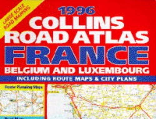
Collins Road Atlas: France, Belgium and Luxembourg
0
0
As an Amazon Associate and affiliate partner, Menrva Books earns from qualifying purchases. Learn more
Author Description
No description available.
Menrva's Summary
THE THESIS
This atlas provides a comprehensive cartographic reference for navigating the road networks of France, Belgium, and Luxembourg as they existed in 1996. The author, Donald Ralston, compiles detailed topographical and infrastructure data to assist travelers in route planning and regional navigation. The work serves as a static historical record of European transit corridors and administrative boundaries during the mid-1990s.
THE SCOPE MAP
What You Will Find
- Detailed road network maps covering France, Belgium, and Luxembourg.
- Administrative boundary delineations and regional transit hubs.
- Cartographic legends for interpreting road classifications and distances.
- Geographical indexing for major cities and secondary transit routes.
THE AUTHORITY PERSPECTIVE
The subject matter points to a specialized reference tool intended for historical research or archival documentation of European infrastructure. The framing suggests a practical, utility-focused resource that prioritizes geographical accuracy over narrative content.
Page Count:
176
Publication Date:
1996-03-07
Publisher:
HarperCollins Publishers
ISBN-10:
0004482573
ISBN-13:
9780004482576
Travel
Luxembourg
Reference
Geography
Europe
Belgium
France
Maps
Community Tags
Similar Books