Belgium / Luxembourg Map
0
0
As an Amazon Associate and affiliate partner, Menrva Books earns from qualifying purchases. Learn more
Author Description
No description available.
Menrva's Summary
THE THESIS
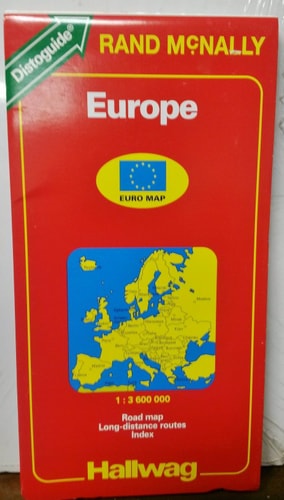
This cartographic reference provides a comprehensive spatial representation of Belgium and Luxembourg as they existed in the early 1990s. The document serves as a navigational and planning tool for travelers, researchers, and historians interested in the infrastructure and regional geography of the Benelux region during this specific period. It utilizes standardized cartographic conventions to delineate borders, transport networks, and urban centers.
THE SCOPE MAP
What You Will Find
- Detailed road networks including primary highways and secondary routes
- Administrative boundaries for provinces and major municipalities
- Topographical features and key geographical landmarks
- Urban density indicators and major city layouts
THE AUTHORITY PERSPECTIVE
The subject matter points to a standard, functional reference tool intended for practical navigation and regional study. The framing suggests a focus on the physical infrastructure and geopolitical layout of the region during the 1993-1994 timeframe.
Page Count:
0
Publication Date:
1993-08-02
Publisher:
HarperCollins Publishers
ISBN-10:
0004480899
ISBN-13:
9780004480893
Travel
Reference
Belgium
Luxembourg
Maps
Europe
Community Tags
Similar Books