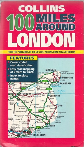
100 Miles Around London
0
0
As an Amazon Associate and affiliate partner, Menrva Books earns from qualifying purchases. Learn more
Author Description
No description available.
Menrva's Summary
THE THESIS
This reference work investigates the geographical, historical, and logistical landscape within a 100-mile radius of London to facilitate regional exploration. The text is compiled by the cartographic and publishing experts at Collins, utilizing standardized mapping data and regional surveys to provide a comprehensive overview of the area. It serves as a practical framework for identifying key transit routes, landmarks, and settlements surrounding the capital city.
THE SCOPE MAP
What You Will Find
- Detailed cartographic representations of the region within a 100-mile radius of London
- Identification of major road networks, rail lines, and transit corridors
- Categorized listings of towns, historical sites, and points of interest
- Geographical data regarding regional boundaries and terrain features
THE AUTHORITY PERSPECTIVE
The subject matter points to a standard, utilitarian reference text designed for travelers and researchers requiring spatial orientation within the specified radius. The framing suggests a highly structured, data-dense approach typical of Collins cartographic publications from this period.
Page Count:
0
Publication Date:
1997-08-04
Publisher:
Collins
ISBN-10:
0004486129
ISBN-13:
9780004486123
Travel
Europe
Great Britain
Guidebook
United Kingdom
Geography
Atlases & Maps
Reference
Community Tags
Similar Books