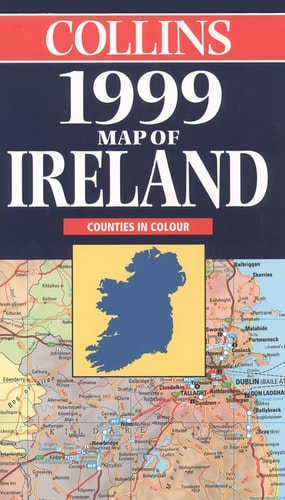
Collins 1999 Map of Ireland: Scale 9 Miles to 1 Inch
0
0
As an Amazon Associate and affiliate partner, Menrva Books earns from qualifying purchases. Learn more
Author Description
Text: English, French, German
Menrva's Summary
THE THESIS
This map serves as a comprehensive cartographic reference tool designed to provide accurate spatial navigation and topographical context for the island of Ireland. The Bartholomew firm utilizes established cartographic standards to present a detailed visual representation of the region's road networks, major settlements, and physical geography. By maintaining a consistent scale of nine miles to one inch, the document offers a reliable framework for both logistical planning and geographical study.
THE SCOPE MAP
What You Will Find
- Detailed road network mapping across the entire island of Ireland.
- Topographical features including major mountain ranges and coastal geography.
- Multilingual legend and labeling provided in English, French, and German.
- Administrative boundaries and primary settlement locations.
THE AUTHORITY PERSPECTIVE
This map is regarded as a standard cartographic resource for late 20th-century navigation and regional study. The inclusion of multiple languages indicates an intent to serve an international audience of travelers and researchers.
Page Count:
0
Publication Date:
1998-09-07
Publisher:
Collins
ISBN-10:
0004488016
ISBN-13:
9780004488011
Travel
Reference
Ireland
Geography
Maps
Community Tags
Similar Books














