Collins Road Atlas: Britain 1995
0
0
As an Amazon Associate and affiliate partner, Menrva Books earns from qualifying purchases. Learn more
Author Description
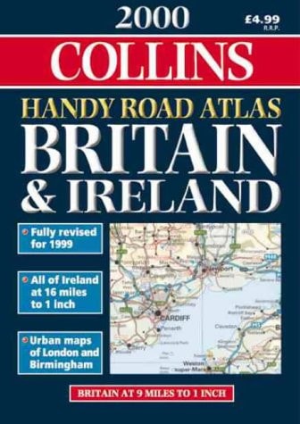
This road atlas of Britain has been fully revised and updated for 1995. The road maps, mostly at 3.2 miles to 1 inch, have been computer-generated and feature a road classification system showing clear distinction between trunk roads, primary routes and "A" roads (non-primary). In addition, the maps include many minor roads, main roads with passing places, railway lines, and tourist information. 21 pages of detailed urban area maps of the major population centres at one inch to one mile offer easy-to-follow mapping of routes through, within and around these traffic-congested areas. In addition, 58 city and town centre plans contain all the necessary information for town centre driving. An eight-page section of London maps and plans covers the M25 and Greater and Central London. The whole atlas is colour-coded for easy reference enabling each section to be readily identified, and the spiral binding allows the atlas to be opened flat or folded over for extra convenience.
Menrva's Summary
THE THESIS
This atlas provides a comprehensive, computer-generated navigational framework for the British road network as it existed in 1995. Donald Ralston compiles detailed cartographic data to assist motorists in navigating trunk roads, primary routes, and urban centers. The work serves as a practical tool for route planning and real-time navigation, emphasizing clarity and accessibility for drivers of the mid-1990s.
THE SCOPE MAP
What You Will Find
- Detailed road classification system distinguishing between trunk roads, primary routes, and A-roads.
- 21 pages of urban area maps at a scale of one inch to one mile for major population centers.
- 58 city and town center plans designed for navigating congested urban environments.
- Specialized eight-page section covering the M25 motorway and Greater London.
- Physical design features including color-coding and spiral binding for flat-opening convenience.
THE AUTHORITY PERSPECTIVE
The subject matter points to a highly functional, period-specific reference tool designed for practical utility in pre-digital navigation. The inclusion of specific urban plans and color-coded sections suggests a focus on ease of use for the contemporary driver of the mid-nineties.
Page Count:
144
Publication Date:
1994-09-01
Publisher:
HarperCollins Publishers
ISBN-10:
0004481089
ISBN-13:
9780004481081
Travel
Geography
Great Britain
Europe
Maps
Reference
Community Tags
Similar Books