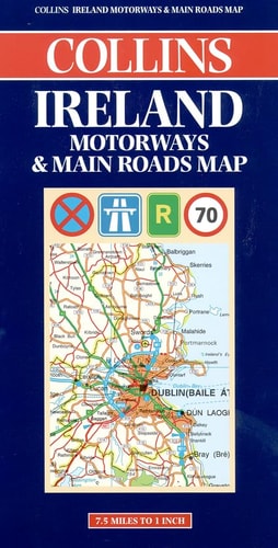
Ireland Motorways & Main Roads
0
0
As an Amazon Associate and affiliate partner, Menrva Books earns from qualifying purchases. Learn more
Author Description
Text: English, French, German
Menrva's Summary
THE THESIS
This reference work provides a comprehensive cartographic guide to the primary road network of Ireland to assist travelers in navigation. The publication, produced by Collins, utilizes standardized mapping conventions to delineate motorways and main roads across the island. It serves as a practical tool for route planning and spatial orientation for both domestic and international motorists.
THE SCOPE MAP
What You Will Find
- Detailed cartography of Ireland's motorway and primary road infrastructure
- Multilingual legend and navigational keys in English, French, and German
- Regional road network connectivity and major transit routes
- Geographic reference points for urban and rural navigation
THE AUTHORITY PERSPECTIVE
The subject matter points to a functional, utilitarian resource designed for practical navigation rather than narrative analysis. Its inclusion of multiple languages suggests an intent to serve a broad international audience of motorists visiting the region.
Page Count:
0
Publication Date:
2000-01-01
Publisher:
Hammond World Atlas Corp
ISBN-10:
000448813X
ISBN-13:
9780004488134
Travel
Reference
Ireland
Europe
Maps
Community Tags
Similar Books