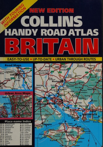
Collins Handy Road Atlas: Britain
0
0
As an Amazon Associate and affiliate partner, Menrva Books earns from qualifying purchases. Learn more
Author Description
No description available.
Menrva's Summary
THE THESIS
This atlas provides a comprehensive cartographic reference for navigating the road networks of Great Britain as they existed in 1995. Donald Ralston, a cartographer associated with the long-standing Collins mapping tradition, compiles detailed road data to assist travelers in route planning and navigation. The work utilizes standardized map projections and scale indicators to translate complex geographical data into a portable, user-friendly format for motorists.
THE SCOPE MAP
What You Will Find
- Detailed road network maps covering England, Scotland, and Wales.
- Index of towns, cities, and major landmarks for quick reference.
- Cartographic representations of motorway, A-road, and B-road classifications.
- Distance charts and regional planning guides for long-distance travel.
THE AUTHORITY PERSPECTIVE
The work serves as a historical snapshot of British infrastructure during the mid-1990s, offering a reliable reference for those studying the evolution of road networks. Its utility is primarily archival, providing a clear look at the navigational tools used by drivers prior to the widespread adoption of digital GPS systems.
Page Count:
80
Publication Date:
1995-02-02
Publisher:
HarperCollins Publishers
ISBN-10:
000448150X
ISBN-13:
9780004481500
Travel
United Kingdom
Reference
Atlases & Maps
Geography
Maps
Community Tags
Similar Books














