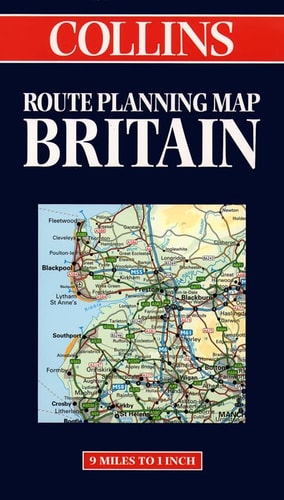
Collins Route Planning Map: Great Britain
0
0
As an Amazon Associate and affiliate partner, Menrva Books earns from qualifying purchases. Learn more
Author Description
No description available.
Menrva's Summary
THE THESIS
This map provides a comprehensive visual framework for navigating the road networks of Great Britain. The publication, produced by the cartographic experts at Collins and Bartholomew, utilizes standardized topographical and infrastructural data to assist travelers in route planning. It serves as a practical tool for identifying primary and secondary road connections across the British landscape.
THE SCOPE MAP
What You Will Find
- Detailed road network coverage including motorways, A-roads, and B-roads.
- Cartographic representations of major urban centers and rural transit corridors.
- Distance indicators and route planning markers for efficient travel navigation.
- Geographical layout of Great Britain with clear administrative and regional boundaries.
THE AUTHORITY PERSPECTIVE
This map is regarded as a standard navigational resource for motorists and travelers requiring a physical reference for British road systems. The inclusion of Bartholomew's cartographic expertise ensures a high level of geographic accuracy and clarity for the intended user base.
Page Count:
1
Publication Date:
1998-01-01
Publisher:
Collins
ISBN-10:
000448617X
ISBN-13:
9780004486178
Travel
Planning
Geography
Maps
Great Britain
Roads -
Reference
Community Tags
Similar Books














