Baltic States Map
0
0
As an Amazon Associate and affiliate partner, Menrva Books earns from qualifying purchases. Learn more
Author Description
No description available.
Menrva's Summary
THE THESIS
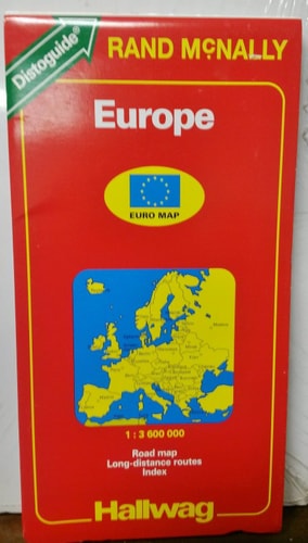
This map provides a comprehensive cartographic representation of the Baltic region, serving as a primary reference tool for navigation and spatial orientation. The Hallwag cartographic team utilizes standardized geographic data to delineate the borders, topography, and infrastructure of Estonia, Latvia, and Lithuania. This document functions as a static visual record of the region's geopolitical and physical landscape during the early 1990s.
THE SCOPE MAP
What You Will Find
- Detailed road networks and primary transit routes across the Baltic States.
- Topographical features including major waterways, forests, and coastal boundaries.
- Urban centers, administrative capitals, and regional settlement patterns.
- Cartographic legends and scale indicators for distance measurement.
THE AUTHORITY PERSPECTIVE
This map serves as a standard reference tool for those requiring a historical snapshot of the Baltic region's infrastructure and borders shortly after the restoration of independence. The presentation is clinical and utilitarian, prioritizing clarity and geographic accuracy for the end user.
Page Count:
0
Publication Date:
1993-07-05
Publisher:
Hallwag
ISBN-10:
0004480449
ISBN-13:
9780004480442
Travel
Latvia
Reference
Estonia
Geography
Maps
Lithuania
Atlases & Maps
Europe
Baltic States
Community Tags
Similar Books