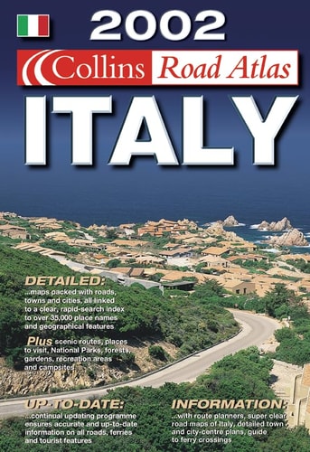
Collins Road Atlas Italy
0
0
As an Amazon Associate and affiliate partner, Menrva Books earns from qualifying purchases. Learn more
Author Description
Fully revised and updated road atlas of all of Italy and including city centre plans and comprehensive place-name index. Scale 1: 300 000 (1 cm to 3km / 1 inch to 4.7 miles)
Menrva's Summary
THE THESIS
This atlas serves as a comprehensive navigational tool designed to provide accurate, up-to-date cartographic data for travelers navigating the Italian peninsula. The volume consolidates regional road networks, urban infrastructure, and geographical indexing into a single reference source. It functions as a practical resource for route planning and spatial orientation within the country.
THE SCOPE MAP
What You Will Find
- Detailed road network mapping for the entirety of Italy at a 1:300,000 scale.
- Specialized city centre plans for major urban hubs.
- A comprehensive place-name index for efficient location searching.
- Standardized cartographic legends for distance and scale interpretation.
THE AUTHORITY PERSPECTIVE
This reference work provides a standard, utilitarian approach to Italian navigation suitable for both professional and recreational use. The inclusion of city-specific plans and a thorough index suggests a focus on practical, high-utility information for the end-user.
Page Count:
138
Publication Date:
2001-01-01
Publisher:
Collins
ISBN-10:
0007119984
ISBN-13:
9780007119981
Travel
Reference
Road maps
Geography
Europe
Italy
Maps
Community Tags
Similar Books