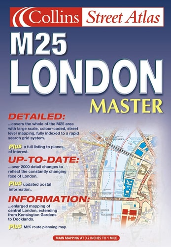
M25 London Master Street Atlas
0
0
As an Amazon Associate and affiliate partner, Menrva Books earns from qualifying purchases. Learn more
Author Description
1:20,000 3.2 inches to 1 mile, 1:10,000 6.3 inches to 1 mile Durable hard back atlas using the Bartholomew digital database mapping covering the whole M25 area. A huge amount of detail is included with a high level of clarity
Menrva's Summary
THE THESIS
This atlas provides a comprehensive, high-resolution cartographic resource for navigating the complex road networks and urban landscape within the M25 London orbital motorway. The volume utilizes the Bartholomew digital database to offer precise, scaled mapping for both general navigation and detailed urban planning. It serves as a static reference tool for motorists, logistics planners, and researchers requiring a granular view of the Greater London area.
THE SCOPE MAP
What You Will Find
- Detailed mapping at 1:20,000 and 1:10,000 scales.
- Comprehensive coverage of the entire M25 orbital motorway region.
- High-clarity cartographic rendering derived from the Bartholomew digital database.
- Extensive street-level indexing and infrastructure identification.
THE AUTHORITY PERSPECTIVE
The subject matter points to a highly functional, technical reference tool designed for practical navigation and spatial analysis. Its reliance on established digital cartography suggests a focus on accuracy and utility for users requiring reliable geographic data within the London metropolitan corridor.
Page Count:
352
Publication Date:
2001-10-01
Publisher:
HarperCollins Publishers
ISBN-10:
0007129629
ISBN-13:
9780007129621
Travel
Reference
Maps
Geography
London
Community Tags
Similar Books














