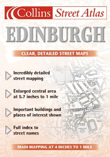
Edinburgh Street Atlas
0
0
As an Amazon Associate and affiliate partner, Menrva Books earns from qualifying purchases. Learn more
Author Description
A handy A5 street atlas with mapping clearly shown in black and white, covering a large area of Edinburgh. The mapping includes: the central area enlargement at 5.7 inches to 1 mile; the extensive area of Edinburgh at 4 inches to 1 mile; car parks; cinemas, museums and theatres; and a full index to street names. It covers an area from Queensferry in the west to Tranent in the east and from the Firth of Forth in the north to Penicuik in the south.
Menrva's Summary
THE THESIS
This atlas provides a comprehensive and portable cartographic reference for navigating the urban and suburban landscape of Edinburgh. Harper Collins Publishers utilizes standardized cartographic techniques to present detailed street-level data for residents and visitors. The volume serves as a functional tool for spatial orientation, offering varying scales to accommodate both dense city-center navigation and broader regional travel.
THE SCOPE MAP
What You Will Find
- Central area enlargement at a scale of 5.7 inches to 1 mile
- Extensive coverage of the Edinburgh metropolitan area at 4 inches to 1 mile
- Locations of essential infrastructure including car parks, cinemas, museums, and theatres
- A comprehensive index of street names for rapid location lookup
- Regional boundaries extending from Queensferry to Tranent and the Firth of Forth to Penicuik
THE AUTHORITY PERSPECTIVE
The subject matter points to a practical, utility-focused reference text designed for high-frequency use by commuters and tourists. Its reliance on clear, black-and-white mapping suggests a priority on legibility and ease of reference in a compact format.
Page Count:
102
Publication Date:
2002-03-04
Publisher:
HarperCollins Publishers Limited
ISBN-10:
0007127790
ISBN-13:
9780007127795
Travel
Geography
Scotland
Maps
Reference
Road maps
Community Tags
Similar Books














